Asa (Kazakhstan)
River in Kazakhstan From Wikipedia, the free encyclopedia
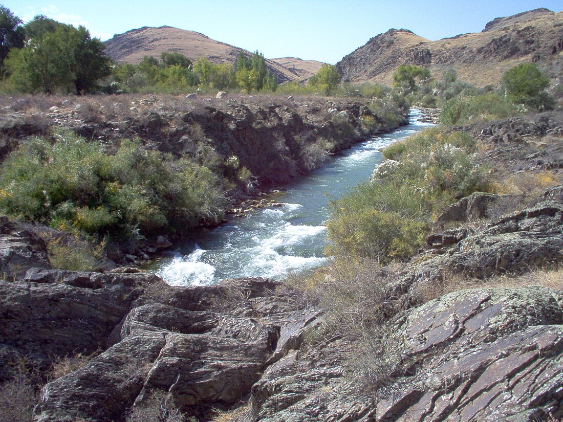
The Asa (Kazakh: Аса, Asa) is a river of Kazakhstan.
| Asa | |
|---|---|
 | |
| Location | |
| Country | Kazakhstan |
| Physical characteristics | |
| Source | Karatau Mountains |
| Mouth | Muyunkum Desert |
• coordinates | 43.9202°N 70.2066°E |
| Length | 253 km (157 mi) |
| Basin size | 9,210 km2 (3,560 sq mi) |
Course
The river has its source in the Karatau Mountains. It flows through lakes Bilikol and Akkol.[1] Further downstream it vanishes in the Muyunkum Desert before reaching the river Talas. The river is 253 kilometres (157 mi) long and has a basin area of 9,210 square kilometres (3,560 sq mi).[2]
References
Wikiwand in your browser!
Seamless Wikipedia browsing. On steroids.
Every time you click a link to Wikipedia, Wiktionary or Wikiquote in your browser's search results, it will show the modern Wikiwand interface.
Wikiwand extension is a five stars, simple, with minimum permission required to keep your browsing private, safe and transparent.
