File:Djibouti_relief_location_map.jpg
From Wikipedia, the free encyclopedia
Size of this preview: 599 × 600 pixels. Other resolutions: 240 × 240 pixels | 479 × 480 pixels | 767 × 768 pixels | 1,023 × 1,024 pixels | 1,540 × 1,542 pixels.
Original file (1,540 × 1,542 pixels, file size: 1.26 MB, MIME type: image/jpeg)
| This is a file from the Wikimedia Commons. Information from its description page there is shown below. Commons is a freely licensed media file repository. You can help. |
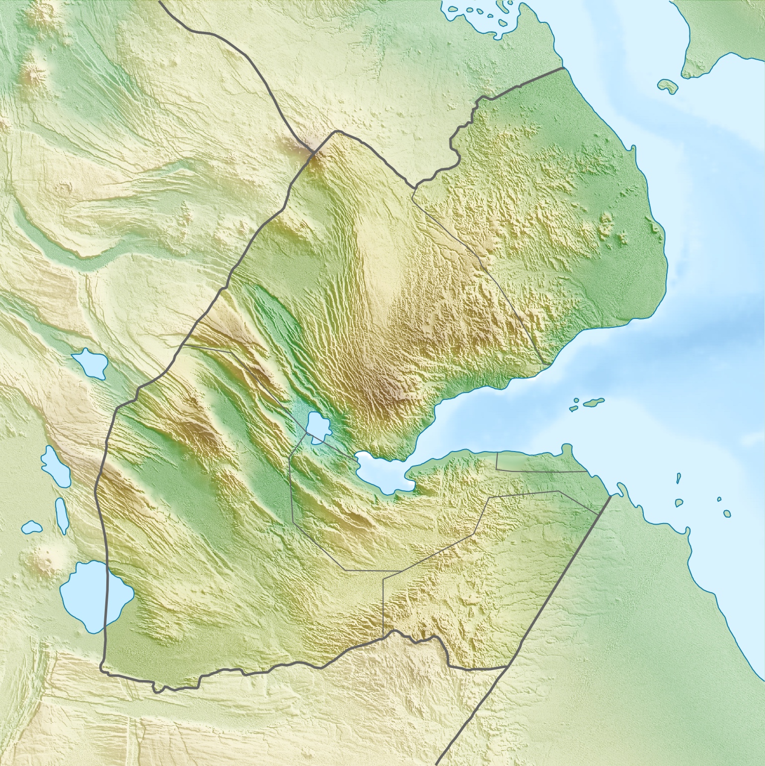
| DescriptionDjibouti relief location map.jpg |
Deutsch: Physische Positionskarte von Dschibuti
Quadratische Plattkarte. Geographische Begrenzung der Karte:
English: Physical location map of Djibouti
Equirectangular projection. Geographic limits of the map:
|
| Date | |
| Source | Own work, using map data from administrative map by NordNordWest. The relief was created from SRTM-3 relief data |
| Author | Carport |
| Permission (Reusing this file) |
This file is licensed under the Creative Commons Attribution-Share Alike 3.0 Unported license.
|
| Other versions |
|

Captions
Add a one-line explanation of what this file represents
Items portrayed in this file
depicts
17 April 2010
File history
Click on a date/time to view the file as it appeared at that time.
| Date/Time | Thumbnail | Dimensions | User | Comment | |
|---|---|---|---|---|---|
| current | 08:53, 17 April 2010 | | 1,540 × 1,542 (1.26 MB) | Carport | {{Information |Description={{de|Physische Positionskarte von {{w|Dschibuti|3=de}}}} Quadratische Plattkarte. Geographische Begrenzung der Karte: * N: 12.9° N * S: 10.7° N * W: 41.5° O * O: 43.7° O {{en|Physical location map of {{w|Djibouti}}}} Equirec |
File usage
The following pages on the English Wikipedia use this file (pages on other projects are not listed):
- Alayto le Boyna
- Ali Olo
- Ali Sabieh
- Ali Sabieh Mountain
- Ardoukoba
- Arta, Djibouti
- Balbala
- Dagouein Mountain
- Day Forest National Park
- Dikhil
- Djibouti City
- Garbi (mountain)
- Geography of Djibouti
- Ghoubbet-el-Kharab
- Hamoudi Mosque
- Handoga
- Hemed (mountain)
- Hisn Murad
- Lake Abbe
- Lake Assal (Djibouti)
- List of fossiliferous stratigraphic units in Djibouti
- Moucha Island
- Mousa Ali
- Obock
- Rahle Godle
- Salman Mosque
- Tadjoura
- Weʽa
- Yaguer (mountain)
- User:Ty654/List of earthquakes from 1960-1964 exceeding magnitude 6+
- User:Ty654/List of earthquakes from 1985-1989 exceeding magnitude 6+
- User:Ty654/List of earthquakes from 1990-1994 exceeding magnitude 6+
- Module:Location map/data/Djibouti
- Module:Location map/data/Djibouti/doc
Global file usage
The following other wikis use this file:
- Usage on ar.wikipedia.org
- Usage on ast.wikipedia.org
- Usage on az.wikipedia.org
- Usage on ba.wikipedia.org
- Usage on be.wikipedia.org
- Usage on bg.wikipedia.org
- Usage on bn.wikipedia.org
- Usage on bs.wikipedia.org
- Usage on ceb.wikipedia.org
- Usage on ce.wikipedia.org
- Usage on ckb.wikipedia.org
- Usage on cs.wikipedia.org
- Usage on da.wikipedia.org
- Usage on de.wikipedia.org
- Dschibuti
- Assalsee (Dschibuti)
- Abbe-See
- Arta (Dschibuti)
- Golf von Tadjoura
- Vorlage:Positionskarte Dschibuti
- Wikipedia:Kartenwerkstatt/Positionskarten/Afrika
- Ardoukoba
- Benutzer:Carport/Galerie
- Holhol
- Ali Adde
- Loyada
- Goda-Massiv
- Mousa Alli
- Doumeira
- Musha (Insel)
- Sawabi-Inseln
- Oueah
- Ghoubbet-el-Kharab
- Damerjog
- Musha-Inseln
- Maskal
View more global usage of this file.
Metadata
This file contains additional information, probably added from the digital camera or scanner used to create or digitize it.
If the file has been modified from its original state, some details may not fully reflect the modified file.
| _error | 0 |
|---|
Retrieved from "https://en.wikipedia.org/wiki/File:Djibouti_relief_location_map.jpg"