File:Reliefkarte_Obwalden_blank.png
From Wikipedia, the free encyclopedia
Size of this preview: 675 × 600 pixels. Other resolutions: 270 × 240 pixels | 540 × 480 pixels | 864 × 768 pixels | 1,233 × 1,096 pixels.
Original file (1,233 × 1,096 pixels, file size: 1.33 MB, MIME type: image/png)
| This is a file from the Wikimedia Commons. Information from its description page there is shown below. Commons is a freely licensed media file repository. You can help. |
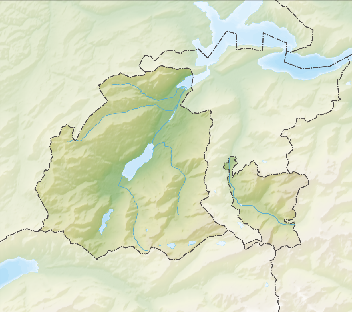
| DescriptionReliefkarte Obwalden blank.png |
Deutsch: Reliefkarte des Kantons Obwalden
Topographischer Hintergrund: NASA Shuttle Radar Topography Mission (public domain). SRTM3 v.2. |
||||||||
| Date | |||||||||
| Source | Own work | ||||||||
| Author | Tschubby | ||||||||
| Permission (Reusing this file) |
I, the copyright holder of this work, hereby publish it under the following licenses:
This file is licensed under the Creative Commons Attribution-Share Alike 2.5 Generic, 2.0 Generic and 1.0 Generic license.
You may select the license of your choice. |
||||||||
| Other versions |
 |

Captions
Add a one-line explanation of what this file represents
Items portrayed in this file
depicts
6 December 2013
File history
Click on a date/time to view the file as it appeared at that time.
| Date/Time | Thumbnail | Dimensions | User | Comment | |
|---|---|---|---|---|---|
| current | 08:05, 6 December 2013 | | 1,233 × 1,096 (1.33 MB) | Tschubby | {{Information |Description= {{de| Reliefkarte des Kantons Obwalden}} Topographischer Hintergrund: [http://www2.jpl.nasa.gov/srtm NASA Shuttle Radar Topography Mission] (public domain). SRTM3 v.2. |Source={{own}} |Date= 2013-12-06 |Author= [[:de:User:Ts... |
File usage
The following pages on the English Wikipedia use this file (pages on other projects are not listed):
- Alpnach
- Alpnach Dorf railway station
- Alpnachstad PB railway station
- Alpnachstad railway station
- Engelberg
- Engelberg railway station
- Ewil Maxon railway station
- Giswil
- Giswil railway station
- Grafenort railway station
- Kaiserstuhl OW railway station
- Kerns, Switzerland
- List of castles and fortresses in Switzerland
- Lungern
- Lungern railway station
- Maria Rickenbach Monastery
- Sachseln
- Sachseln railway station
- Sarnen
- Sarnen Nord railway station
- Sarnen railway station
- Template:List of castles and fortresses in Canton Obwalden/location map
- Module:Location map/data/Canton of Obwalden
- Module:Location map/data/Canton of Obwalden/doc
Global file usage
The following other wikis use this file:
- Usage on de.wikipedia.org
- Laui (Sarner Aa)
- Lungerersee
- Glaubenbielen
- Ächerlipass
- Liste von Burgen und Schlössern in der Schweiz
- Umfahrungstunnel Giswil
- Tannensee (Obwalden)
- Landessender Sarnen
- Gross-Titlis-Schanze
- Hahnen
- Grosse Melchaa
- Wikipedia:Kartenwerkstatt/Positionskarten/Europa
- Umfahrungstunnel Sachseln
- Kraftwerk Unteraa
- Umfahrungstunnel Lungern
- Burgruine Rudenz
- Brünig-Haupt
- Flugplatz Kägiswil
- Klappbrücke Grünenwald
- Kleine Melchaa
- Grosse Schliere
- Vorlage:Positionskarte Schweiz Obwalden
- Kraftwerk Hugschwendi
- Graustock
- Jochstock
- Glogghüs
- Alte Kirche Lungern
- Härzlisee
- Seefeldsee
- Turbinenanlage Stäubiloch
- Panoramalift (Melchsee-Frutt)
- Benutzer:Tschubby/Reliefkarten
- Widderfeld (Pilatus)
- Turmruine Rosenberg
- Kleine Schliere
- Usage on eo.wikipedia.org
- Lago de Sarno
- Titlis
- Lago de Lungern
- Ŝablono:Situo sur mapo Svislando Obvaldo
- Alpnach Dorf (stacidomo)
- Alpnachstad (stacidomo)
- Sarnen (stacidomo)
- Sarnen Nord (stacidomo)
- Sachseln (stacidomo)
- Ewil Maxon (stacidomo)
- Grafenort (stacidomo)
- Engelberg (stacidomo)
- Giswil (stacidomo)
- Kaiserstuhl OW (stacidomo)
- Lungern (stacidomo)
View more global usage of this file.
Metadata
This file contains additional information, probably added from the digital camera or scanner used to create or digitize it.
If the file has been modified from its original state, some details may not fully reflect the modified file.
| Horizontal resolution | 118.11 dpc |
|---|---|
| Vertical resolution | 118.11 dpc |
Retrieved from "https://en.wikipedia.org/wiki/File:Reliefkarte_Obwalden_blank.png"