Koplotovce
Municipality in Slovakia From Wikipedia, the free encyclopedia
Koplotovce (Hungarian: Kaplat) is a village and municipality in Hlohovec District in the Trnava Region of western Slovakia.
Koplotovce | |
|---|---|
Municipality | |
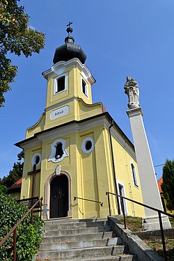
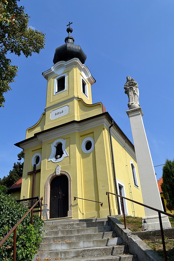
 Church of Visitation of Virgin Mary | |
Location of Koplotovce in the Trnava Region | |
| Coordinates: 48°28′N 17°49′E | |
| Country | |
| Region | Trnava |
| District | Hlohovec |
| First mentioned | 1113 |
| Area | |
| • Total | 5.79[1] km2 (2.24[1] sq mi) |
| Elevation | 159[2] m (522[2] ft) |
| Population (2021) | |
| • Total | 800[3] |
| Postal code | 920 01[2] |
| Area code | +421 33[2] |
| Car plate | HC |
| Website | www.koplotovce.sk |
History
In historical records the village was first mentioned in 1113.
Geography
The municipality lies at an altitude of 165 metres and covers an area of 5.799 km2. It has a population of about 580 people.
Genealogical resources
The records for genealogical research are available at the state archive "Statny Archiv in Bratislava, Nitra, Slovakia"
- Roman Catholic church records (births/marriages/deaths): 1660-1901 (parish B)
See also
References
External links
Wikiwand in your browser!
Seamless Wikipedia browsing. On steroids.
Every time you click a link to Wikipedia, Wiktionary or Wikiquote in your browser's search results, it will show the modern Wikiwand interface.
Wikiwand extension is a five stars, simple, with minimum permission required to keep your browsing private, safe and transparent.


