Top Qs
Timeline
Chat
Perspective
Bagdarin
Selo in Buryatia, Russia From Wikipedia, the free encyclopedia
Remove ads
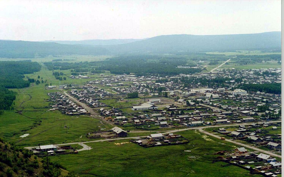
Bagdarin (Russian: Багдари́н; Buryat: Сагаан Уула, Sagaan Uula), is a rural locality (a selo) and the administrative center of Bauntovsky Evenkiysky District of the Republic of Buryatia, Russia, located on the Vitim Plateau. Population: 4,735 (2010 Census);[1] 4,763 (2002 Census);[4] 4,825 (1989 Soviet census).[5]
Remove ads
Geography
The village is located in the Vitim Plateau. Above the northern side of the village rises the "White Mountain", a barren hill composed of dolomite rock.[6]
 |
Transportation

Bagdarin is served by the Bagdarin Airport.[7] Road P437 connects Bagdarin with Romanovka, located 172 kilometres (107 mi) away.
Climate
Summarize
Perspective
Bagdarin has a subarctic climate (Köppen climate classification Dwc) with severely cold but dry winters and mildly warm, short, and humid summers. Diurnal temperature variation is quite high in this town. Precipitation is quite low, but is much higher in summer than at other times of the year.
References
Wikiwand - on
Seamless Wikipedia browsing. On steroids.
Remove ads


