Top Qs
Timeline
Chat
Perspective
Bay of St. Louis
Estuary in Hancock County, Mississippi, United States From Wikipedia, the free encyclopedia
Remove ads
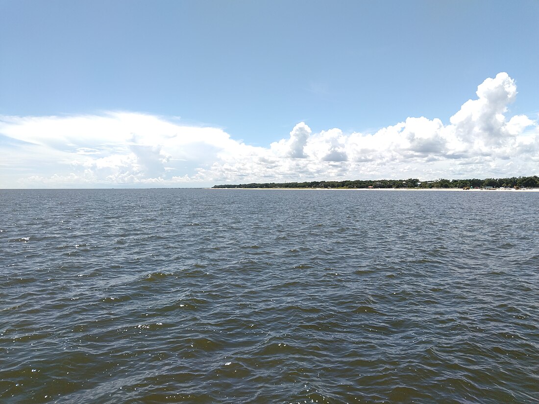
The Bay of St. Louis (St. Louis Bay; French: Baie Saint-Louis) is a shallow-water, partially enclosed estuary of the northeast Gulf of Mexico along the southwestern coast of Mississippi.[1][2][3][4]
Remove ads
Description
The estuary receives freshwater input from one blackwater, or swamp-land, the Jourdan River on the west and the Wolf River on the east and some smaller streams (Bayou Portage); these are mixed in the bay with salt water from Mississippi Sound and the Mississippi Bight.[1][2] The waters are comparatively well mixed, with an average salinity of less than 20.[2]
The Bay of St. Louis is classified as an "impaired" waterway by the United States Environmental Protection Agency due to high fecal coliform levels in the waters from urban development on the bay and surrounding waters.[5]
Remove ads
See also
References
External links
Wikiwand - on
Seamless Wikipedia browsing. On steroids.
Remove ads


