Top Qs
Timeline
Chat
Perspective
Brunnsviken
Lake in Sweden From Wikipedia, the free encyclopedia
Remove ads
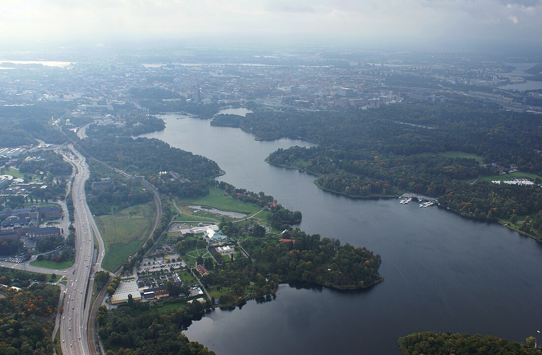
Brunnsviken (literally The Bay of Wells) is a 3.5 kilometres (2.2 mi) by 0.4–0.5 kilometres (0.25–0.31 mi) brackish lake in Sweden located on the boundary between Solna Municipality and Stockholm Municipality, connecting to Lilla Värtan through Ålkistan.[1] It has a perimeter of 12 kilometres (7.5 mi). Around Brunnsviken there are a wide range of interesting buildings and facilities. Brunnsviken stretches all the way from Vasastaden, Stockholm in the south to Bergshamra, Solna in the north, with Hagaparken along the western shoreline.[1] In the 1700s, Gustav III had plans to build a continuous belt of English parks around the lake. Since 1994, Brunnsviken has been a part of the Royal National City Park.
This article relies largely or entirely on a single source. (January 2025) |
Remove ads
References
Wikiwand - on
Seamless Wikipedia browsing. On steroids.
Remove ads


