Top Qs
Timeline
Chat
Perspective
Cape Baranov
Headland in Severnaya Zemlya, Russia From Wikipedia, the free encyclopedia
Remove ads
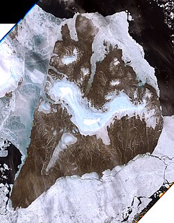
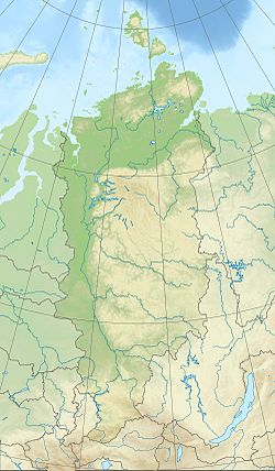
Cape Baranov (Russian: Мыс Баранова; Mys Baranova)[1] is a headland in Severnaya Zemlya, Russia.
Remove ads
History
The Laptev Sea shore of present-day Severnaya Zemlya was discovered by Boris Vilkitsky in 1913 during the Arctic Ocean Hydrographic Expedition on behalf of the Russian Hydrographic Service, but he was unaware that there was a strait west of the cape between what is now Bolshevik Island and the islands further north, for the straits are frozen most of the year, forming a compact whole.[2][3]
This cape was named during the 1930–1932 expedition to the archipelago led by Georgy Ushakov and Nikolay Urvantsev after Soviet scientist Fedor Baranov (1886–1965).[4]
Located near Cape Baranov, roughly 15 km (9.3 mi) to the SSE of the cape,[5] the Prima Polar Station of the Arctic and Antarctic Research Institute closed down in 1996 and reopened in June 2013 as a private venture.[6] This is currently the only Arctic research facility operating in Severnaya Zemlya.[7][8]
Remove ads
Geography
Cape Baranov is located in the northern part of Bolshevik Island facing the Shokalsky Strait.[9] This headland stretches out northwards in an unglaciated lowland area west of the mouth of Mikoyan Bay.[1]
 |
 |
See also
References
External links
Wikiwand - on
Seamless Wikipedia browsing. On steroids.
Remove ads
