Top Qs
Timeline
Chat
Perspective
Cuers
Commune in Provence-Alpes-Côte d'Azur, France From Wikipedia, the free encyclopedia
Remove ads
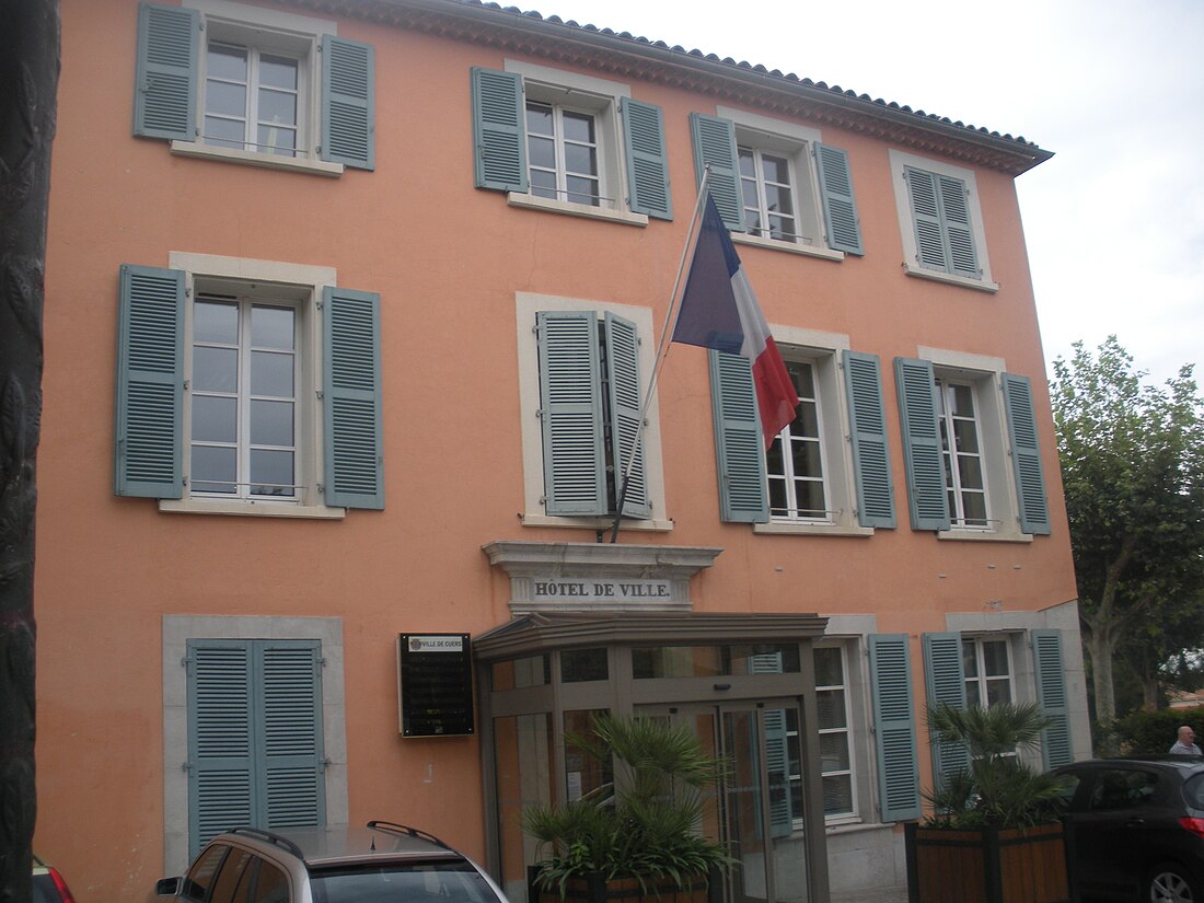
Cuers (French pronunciation: [kɥɛʁs]) is a commune in the Var department in the Provence-Alpes-Côte d'Azur region in southeastern France.
It has an aerodrome, Cuers-Pierrefeu Aerodrome, shared with nearby Pierrefeu.
It was one of the locations of the 1995 Cuers massacre.
Remove ads
Geography
Summarize
Perspective
Climate
Cuers has a hot-summer Mediterranean climate (Köppen climate classification Csa). The average annual temperature in Cuers is 15.5 °C (59.9 °F). The average annual rainfall is 778.9 mm (30.67 in) with November as the wettest month. The temperatures are highest on average in July, at around 24.4 °C (75.9 °F), and lowest in January, at around 7.9 °C (46.2 °F). The highest temperature ever recorded in Cuers was 41.3 °C (106.3 °F) on 5 August 2017; the coldest temperature ever recorded was −9.3 °C (15.3 °F) on 2 March 2005.
Remove ads
Population
See also
References
External links
Wikiwand - on
Seamless Wikipedia browsing. On steroids.
Remove ads


