Top Qs
Timeline
Chat
Perspective
Dapodi
Suburb in Pune, Maharashtra, India From Wikipedia, the free encyclopedia
Remove ads
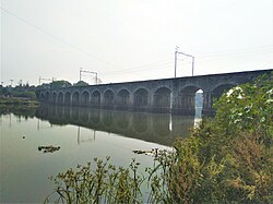
Dapodi (earlier: Dapoorie) is a neighbourhood in Pimpri Chinchwad in the northwestern Pune, India. It is located in the northwest area of the city. Dapodi is situated on the banks of Pavana river and Mula River. The neighbourhood of Dapodi compromises of Dapodi gaon, Dapodi bazar, Phugewadi, Kundan Nagar and Ganesh Nagar.

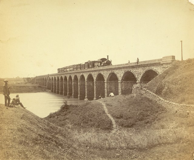
The neighbourhood lies on National Highway 48 (India). It is served by Dapodi railway station which falls on Mumbai–Chennai line. The railway station opened in 1858.
The College of Military Engineering, Pune[2] is located here.
Dapodi is surrounded by Sangvi and Pimple Gurav to the west, Bopkhel, Kalas to the east, Kasarwadi to the north, and Bopodi and Khadki to the south. The Pavana River is to the west whereas Mula river is to the south.[3]
Remove ads
Etymology
Dapodi was called Darpapudika (Sanskrit: दर्पपूडिका) during the Rashtrakuta rule in the 8th century. An early reference is found in a copperplate inscription dated 758 CE, describing a land gift by Rashtrakuta king Krishna I to Pugadibhatta, a brahmin. The inscription mentions the land to be the village of Bopkhelugram (Bopkhel), bordered by Darpapudika (Dapodi) to the west, Bhesuri (Bhosari) to the north, the Muila (Mula) river to the south, and Kalas to the east.[4]
Remove ads
References
Wikiwand - on
Seamless Wikipedia browsing. On steroids.
Remove ads


