Top Qs
Timeline
Chat
Perspective
Karatay, Konya
District and municipality in Konya, Turkey From Wikipedia, the free encyclopedia
Remove ads
Karatay is a municipality and district of Konya Province, Turkey.[2] Its area is 2,832 km2,[3] and its population is 370,927 (2022).[1] Karatay is one of the central districts of Konya along with the districts of Meram and Selçuklu. It covers the eastern part of the agglomeration of Konya and the adjacent countryside.
The solar power plant Kızören in Konya which went online in 2016 covers an area of 430,000 m2 and will be able to produce 26 GWh of electricity annually.[4][5]
Remove ads
Places to see
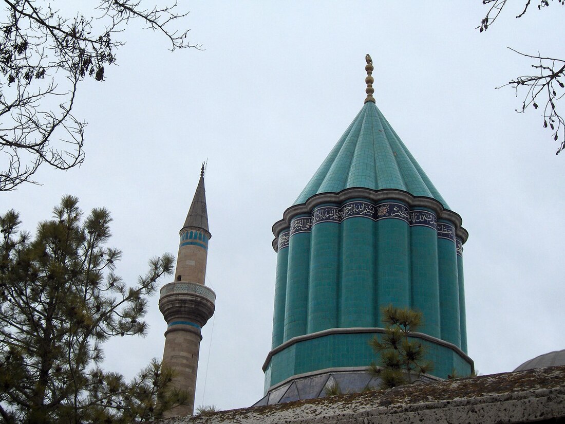
- Mevlana Museum
- Aziziye Mosque
Composition
There are 80 neighbourhoods in Karatay District:[6]
- Acıdort
- Akabe
- Akbaş
- Akçeşme
- Akifpaşa
- Akörenkışla
- Aksaklı
- Aziziye
- Bakırtolu
- Başak
- Başgötüren
- Beşağıl
- Büyükburnak
- Büyüksinan
- Çatalhüyük
- Çatalömek
- Çelebi
- Çengilti
- Çimenlik
- Divanlar
- Doğuş
- Elmacı
- Emirgazi
- Erenler
- Erler
- Esentepe
- Fetih
- Fevziçakmak
- Gaziosmanpaşa
- Göçü
- Hacıhasan
- Hacıibalı
- Hacısadık
- Hacıveyiszade
- Hacıyusufmescit
- Hamzaoğlu
- Hasandede
- Hayıroğlu
- İpekler
- İsmil
- İstiklal
- Kalenderhane
- Karaaslandede
- Karaaslanüzümcü
- Karaciğan
- Karadona
- Karakaya
- Karakulak
- Katrancı
- Kayacıkaraplar
- Keçeciler
- Kerimdede
- Keykubat
- Kızören
- Köprübaşı
- Köseali
- Kumköprü
- Mengene
- Nakipoğlu
- Obruk
- Orhangazi
- Ortakonak
- Ovakavağı
- Sakyatan
- Saraçoğlu
- Sarıyakup
- Şatır
- Selimsultan
- Şemsitebrizi
- Sultan Mesud
- Sürüç
- Tatlıcak
- Ulubatlıhasan
- Yağlıbayat
- Yarma
- Yavşankuyu
- Yediler
- Yenice
- Yenikent
- Zincirli
Remove ads
Twin cities
References
External links
Wikiwand - on
Seamless Wikipedia browsing. On steroids.
Remove ads


