Top Qs
Timeline
Chat
Perspective
Kathgodam
Town in Uttarakhand, India From Wikipedia, the free encyclopedia
Remove ads
Kathgodam is a suburb of Haldwani, Uttarakhand, India. It used to be a part of the twin township of Haldwani–Kathgodam, and is known as the "Gateway to Kumaon".
Remove ads
History
Literally meaning timber depot, Kathgodam was a small village in 1901 with a population of 375.[1]

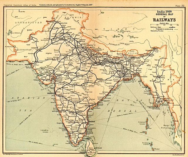
The town contains a terminus station on its Indian Railways line.
Geography
Kathgodam is located at 29.27°N 79.53°E.[2] It has an average elevation of 554 metres (1,483 feet). It is situated on the banks of the Gaula river.
Demographics
As per provisional data of 2011 census Haldwani-cum-Kathgodam urban agglomeration had a population of 252,060, out of which males were 121,363 and females were 110,697. The literacy rate was 85.17 per cent.[3]
References
Wikiwand - on
Seamless Wikipedia browsing. On steroids.
Remove ads


