Top Qs
Timeline
Chat
Perspective
Kimanis Bay
Bay on the west coast of Sabah, Malaysia, Borneo From Wikipedia, the free encyclopedia
Remove ads
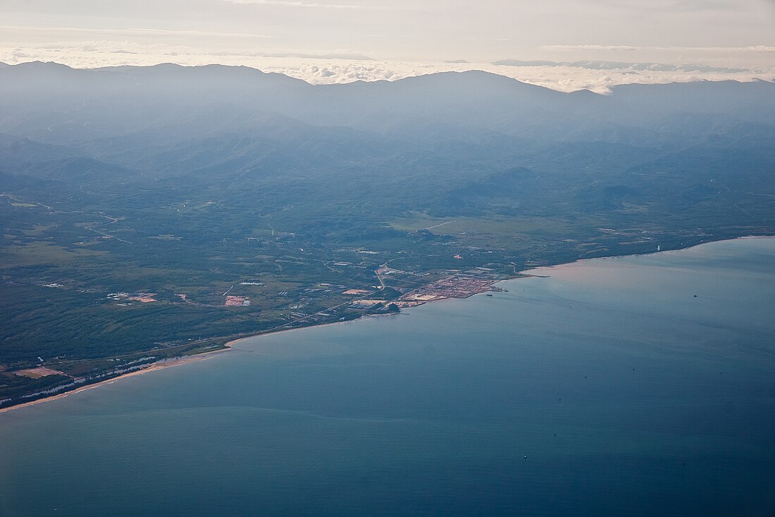
Kimanis Bay (Malay: Teluk Kimanis) is a bay on the west coast of the island of Borneo. It is a part of Malaysian state of Sabah and connects to the South China Sea. Administratively, it belongs to Papar District in the West Coast Division.[1]
Remove ads
Geography
The bay covers an area of approximately 450 km2. The coastline extends in a wide arc from Cape Nosong to Cape Papar. In front of the bay is the island of Pulau Tiga. The coastline is predominantly not forested, with agricultural use.[2]
History
The name of the bay is derived from the settlement of Kimanis. The name Kimanis Bay can already be found on a map of British North Borneo from 1899 published by the North Borneo Chartered Company.[3]
Sabah-Sarawak Integrated Oil and Gas Project

The Sabah Oil and Gas Terminal (SOGT), located in the coastal area of Kimanis Bay, serve as a receiving, storage and export station for oil and natural gas from Sabah's offshore fields. At the same time, the Sabah-Sarawak Gas Pipeline (SSGP) begins here, which transports natural gas over a distance of 522 kilometers to Bintulu, Sarawak.[4][5]
External links
References
Wikiwand - on
Seamless Wikipedia browsing. On steroids.
Remove ads


