Top Qs
Timeline
Chat
Perspective
Le Cercueil
Commune in Normandy, France From Wikipedia, the free encyclopedia
Remove ads
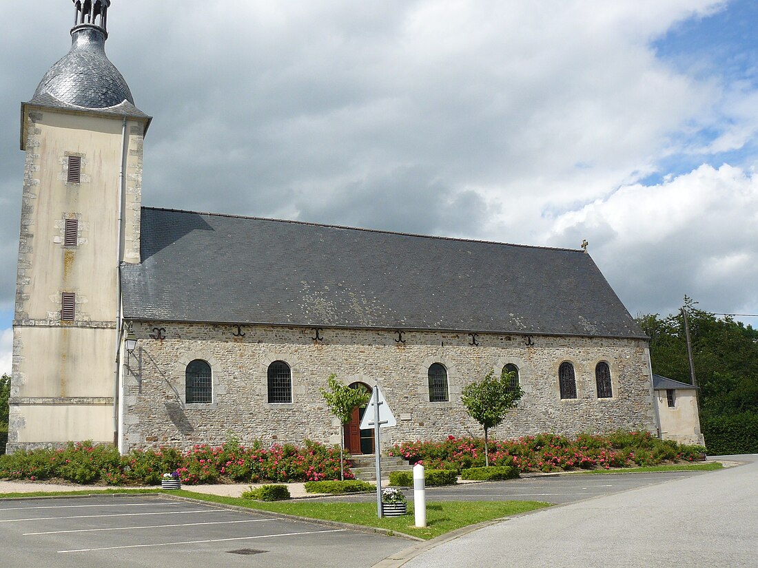
Le Cercueil (French pronunciation: [lə sɛʁkœj] ⓘ) is a commune in the Orne department in north-western France.
Remove ads
Geography
The commune is made up of the following collection of villages and hamlets, Aprêl, La Gère, La Sevestrie and Le Cercueil.[3]
It is 1,320 hectares (5.1 sq mi) in size. The highest point in the commune is 270 metres (890 ft).
The commune is within the Normandie-Maine Regional Natural Park and Forêt d'Écouves.[4][5]
Le Cercueil along with another 65 communes is part of a 20,593 hectare, Natura 2000 conservation area, called the Haute vallée de l'Orne et affluents.[6] In addition along with another eight communes shares part of a 1,630 hectare, Natura 2000 conservation area, called Sites d'Ecouves.[7]
The commune has six watercourses flowing through it, la Thouane river, Clairefontaine stream, Vallees stream, Aprel stream, Cercueil stream and the Blanchelande stream.
Remove ads
See also
References
Wikiwand - on
Seamless Wikipedia browsing. On steroids.
Remove ads


