Top Qs
Timeline
Chat
Perspective
Lhagba Pool
Alpine lake in Mount Everest, Tibet Autonomous Region From Wikipedia, the free encyclopedia
Remove ads
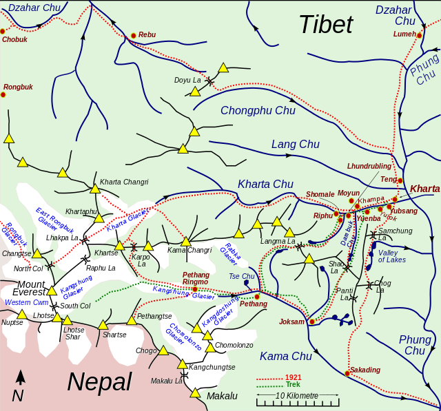
The Lhagba Pool was a high altitude lake considered to exist, but an examination of evidence, including satellite photos leads to a conclusion that it has dried out.[1] It was considered the highest lake in Tibet and the second highest lake in the world, behind Ojos del Salado's crater lake.[2] The pool was supposed to lie at an elevation of 6,368 metres (20,892 ft) above sea level.[3] It was located between East Rongbuk Glacier and Lhagba La, around 5 km (3.1 mi) north of the Everest summit and 3 km (1.9 mi) east. It was not a major attraction, but was said to be a surprisingly wide (50m) and long (180m) lake.


Remove ads
References
Wikiwand - on
Seamless Wikipedia browsing. On steroids.
Remove ads

