Top Qs
Timeline
Chat
Perspective
Motordrome, California
Archaic place name in Los Angeles County From Wikipedia, the free encyclopedia
Remove ads
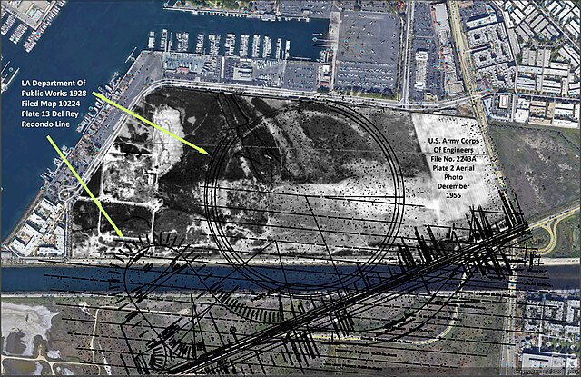
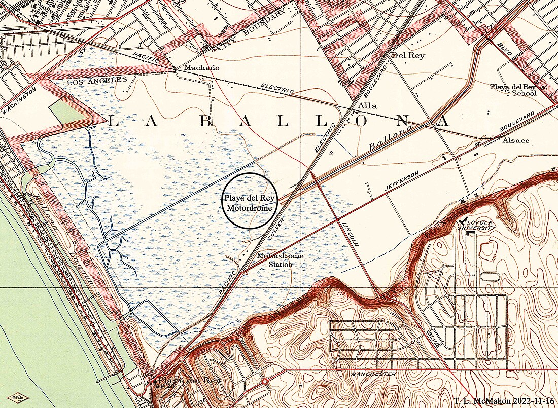
Motordrome is an archaic placename in Los Angeles County, California.[1] It designates a rail spur that existed in the 1910s[2] on the Redondo Beach via Del Rey Line, named for the Los Angeles Motordrome race track and airfield.[3] Motordrome station lay at an elevation of 7 feet (2 m).[1] The coordinates for Motordrome preserved in the GNIS (33°58′07″N 118°26′21″W) place it near the present-day intersections of Jefferson Boulevard and Culver Boulevard, in what is now the Ballona Wetlands Ecological Reserve.


Even though the racetrack was destroyed in a fire in 1913, and the rails were removed by 1918,[2] the place name persisted on USGS survey maps until at least the 1930s.[4]
The Barnes Circus train partially derailed at Motordrome in 1914, injuring four.[5]
Remove ads
See also
References
External links
Wikiwand - on
Seamless Wikipedia browsing. On steroids.
Remove ads
