Top Qs
Timeline
Chat
Perspective
Mount Muhabura
Mountain on the Rwanda–Uganda border From Wikipedia, the free encyclopedia
Remove ads
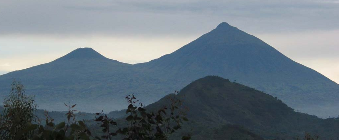
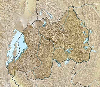
Mount Muhabura, also known as Mount Muhavura, is an inactive volcano in the Virunga Mountains on the Rwanda-Uganda border. At 4,127 metres (13,540 ft), Muhabura is the third highest of the eight major mountains of the mountain range, which is part of the Albertine Rift, the western branch of the East African Rift. Its summit contains a small crater lake. The limited evidence for this volcano suggests that it last erupted some time in the Holocene, but the exact date is not known. The Smithsonian Institution states that a small parasitic crater near Muhabura had been active "recently" without mentioning a date.
The name Muhabura means "The Guide" in the local language, Kinyarwanda.[3]
Remove ads
Geography
Muhabura is the third highest of the eight volcanoes in the Virunga Mountains chain at an altitude of 4,127 metres (13,540 ft) with a prominence of 1,530 metres. It can be seen from many parts of Uganda and Rwanda because of its height and characteristic slope.
It is flanked by the smaller Mount Gahinga to the west, separated by a swamp from the Kabiranyuma River.[3] Muhabura´s Northern side lies in the Mgahinga Gorilla National Park, in Uganda and the Southern side in Volcanoes National Park, Rwanda.
Hiking the peak is possible from Rwanda's Volcanoes National Park headquarters in Kinigi, which is two hours drive from Kigali or from Musanze.[3]
Remove ads
Gallery
- View of Muhabura Volcano in Kinigi sector, Musanze district, Rwanda afar from Volcanoes Park
- Hiking on mount Muhabura
- Volcanic rock from Muhabura containing crystals of augite
See also
References
External links
Wikiwand - on
Seamless Wikipedia browsing. On steroids.
Remove ads


