Top Qs
Timeline
Chat
Perspective
Narrikup, Western Australia
Town in Western Australia From Wikipedia, the free encyclopedia
Remove ads
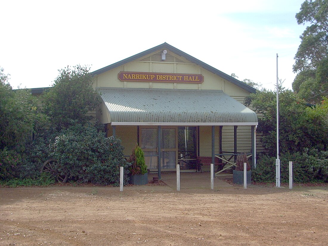
Narrikup is a small town and locality of the Shire of Plantagenet in the Great Southern region of Western Australia.[2][3] Narrikup is located between Albany and Mount Barker. At the 2006 census, Narrikup had a population of 515.[4]
Remove ads
History
The name Narrikup comes from the Aboriginal name of a nearby brook which is thought to mean "place of abundance".[5]
The area was visited by Thomas Wilson who travelled from Albany in 1829 when he camped on the banks of the stream west of the current townsite.[6]
The town is located on the Great Southern Railway line which was completed in this area in 1889, although initially the siding was named Hay River.[5] Before the railway, nearby Chockerup Inn was a busy stop on the mail route from Albany to Perth, but it was abandoned when the railway came.
A reserve for the townsite was put aside in 1901 and in 1905 20 lots were surveyed; the townsite was finally gazetted in 1907.
Remove ads
Nature reserves
A number of named and unnamed nature reserves are located within Narrikup, all located within the Jarrah Forest bioregion:[7]
- Chorkerup Nature Reserve was gazetted on 26 August 2004 and has a size of 0.48 square kilometres (0.19 sq mi)
- Lake Barnes Road Nature Reserve was gazetted on 22 January 1912 and has a size of 2.98 square kilometres (1.15 sq mi)
- Lake Eyrie Nature Reserve was gazetted on 15 July 1898 and has a size of 0.4 square kilometres (0.15 sq mi)
- Sleeman Creek Nature Reserve was gazetted on 3 October 1924 and has a size of 4.16 square kilometres (1.61 sq mi)
- WA49722 Nature Reserve was gazetted on 2 December 2008 and has a size of 0.9 square kilometres (0.35 sq mi)
- WA15775 Nature Reserve was gazetted on 27 November 1914 and has a size of 0.61 square kilometres (0.24 sq mi)
Remove ads
References
Wikiwand - on
Seamless Wikipedia browsing. On steroids.
Remove ads


