Top Qs
Timeline
Chat
Perspective
Neatishead
Village in Norfolk, England From Wikipedia, the free encyclopedia
Remove ads
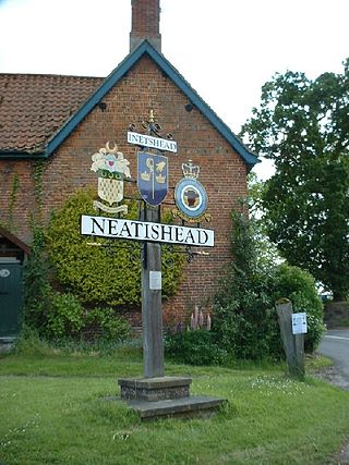
Neatishead (/ˈniːtstəd/ NEET-stəd)[1] is a village and civil parish in the English county of Norfolk. The village is situated some 20 km (12 mi) north-east of the city of Norwich, within The Norfolk Broads and to the west of Barton Broad. Access to Neatishead from the broad is by way of Limekiln Dyke, a narrow channel leading off the broad.[2]
Remove ads
Correct pronunciation
History
The village's name origin is uncertain 'Vassal's household' or perhaps, 'Snaet's household'.[citation needed]
The civil parish has an area of 7.71 km2 (2.98 sq mi) and in the 2001 census had a population of 537 in 235 households, the population increasing to 565 at the 2011 census.[5] For local government, the parish falls within the district of North Norfolk.[6]
It is well known due to the nearby RAF Neatishead radar station.[citation needed]
Remove ads
References
External links
Wikiwand - on
Seamless Wikipedia browsing. On steroids.
Remove ads


