Top Qs
Timeline
Chat
Perspective
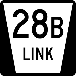
Nebraska Link 28B
State highway in Nebraska, United States From Wikipedia, the free encyclopedia
Remove ads
Nebraska Link 28B (L-28B) is a connecting link highway which connects U.S. Route 275 west of Omaha to U.S. Route 6 in Omaha. The highway is a 3.4-mile (5.5 km) long part of a freeway which stretches to Fremont from Omaha.
Remove ads
Route description
L-28B begins at an interchange with U.S. Route 275 (US 275) west of Omaha. The connections from US 275 eastbound to L-28B eastbound and from L-28B westbound to US 275 westbound make up the dominant road. Eastbound US 275 traffic must exit to stay on the route, while westbound L-28B traffic must exit to access eastbound US 275. Continuing east, L-28B meets 228th Street, which extends to Waterloo, at a diamond interchange. It crosses the Elkhorn River and then meets Skyline Drive, in Elkhorn, at a partial cloverleaf interchange. Now in Omaha, the road is named West Dodge Road. L-28B ends at an interchange with westbound U.S. Route 6 and Nebraska Highway 31. West Dodge Road continues towards Downtown Omaha as eastbound US 6. The entire route's speed limit was increased from 65 miles per hour (105 km/h) to 70 mph (110 km/h) in July 2018 [2]
Remove ads
Major intersections
The entire route is in Douglas County. All exits are unnumbered.
Remove ads
References
Wikiwand - on
Seamless Wikipedia browsing. On steroids.
Remove ads


