Top Qs
Timeline
Chat
Perspective
Nigrita
Municipal unit in Greece From Wikipedia, the free encyclopedia
Remove ads
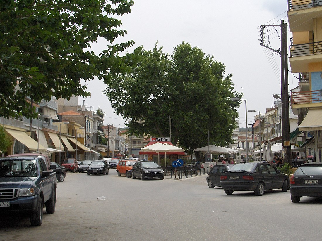
Nigrita (Greek: Νιγρίτα) is a city and a municipality in the Serres regional unit, Macedonia, Greece. Since the 2011 local government reform it is part of the municipality Visaltia, of which it is the seat and a municipal unit.[2] The municipal unit has an area of 160.888 km2.[3] It is situated in the wide plain south of the river Strymonas, at the northern foot of the Kerdylio mountains, in the southern part of the Serres regional unit. Nigrita is located 22 km south of Serres, and 92 km northeast of Thessaloniki.
Remove ads
History
Near Nigrita have been found several sites of ancient settlements of the Hellenistic and Roman times. One of them was perhaps the site of the ancient city Bisaltia, capital of the Bisaltae, which is known by Stephanus of Byzantium.[4]
In the Ottoman tahrir defter (number 7) of 1478 (Hijri 883),[5] the settlement is recorded as a village with the name Nigrita, within the kaza of Siroz.[6] At the beginning of the 19th century, it was a prosperous town where cotton, silver and copper were processed. The town became a part of Kingdom of Greece after the 1913 Second Balkan War.
According to the statistics of Vasil Kanchov ("Macedonia, Ethnography and Statistics"), 2,500 Greek Christians lived in the village in 1900.[7]
Remove ads
Subdivisions
The municipal unit Nigrita is subdivided into the following communities:
- Anthi
- Flampouro
- Nigrita
- Terpni
- Therma
Historical population
See also
- List of settlements in the Serres regional unit
- Austen Harrison, town planner of Nigrita after WWI
References
Wikiwand - on
Seamless Wikipedia browsing. On steroids.
Remove ads


