Top Qs
Timeline
Chat
Perspective
North Dakota Highway 3
State highway in North Dakota, United States From Wikipedia, the free encyclopedia
Remove ads
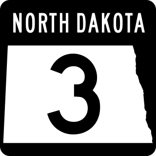
North Dakota Highway 3 (ND 3) is a 247.530-mile-long (398.361 km) major north–south state highway in North Dakota, United States, that spans the entire state. It travels from South Dakota Highway 45 (SD 45) at the South Dakota state line, south of Ashley north to Manitoba Highway 10 (PTH 10) at the International Peace Garden on the Canada–United States border.
Remove ads
Route description
ND 3 starts at the South Dakota state line, where it meets SD 45. It runs north for 7 miles before turning left onto ND 11 in Ashley. ND 3 and ND 11 then run west for 8.5 miles before ND 3 turns north again. After 16.8 miles, it turns west onto ND 13 in Wishek. The two highways share the road until ND 3 turns right, continuing north towards I-94, passing through Napoleon and Dawson. At I-94, ND 3 merges and travels westbound for 7.7 miles before exiting the interstate.
ND 3 continues north from Steele for 41.2 miles where it intersects ND 36. It then turns right and shares a 2-mile concurrency with ND 200 near Hurdsfield. ND 3 continues north for 21 miles to US 52 in Harvey. Exiting Harvey, ND 3 proceeds north for 42.9 miles where it intersects ND 19 and US 2 in Rugby. It then meets the end of ND 17 and ND 60 about ten miles north of Rugby, and later, ND 66 near Rolette. ND 3 enters a concurrency with US 281 southeast of Dunseith and runs concurrently with it for 13.5 miles until they both end at the Canadian border just east of the International Peace Garden.

Remove ads
Major intersections
Remove ads
See also
References
External links
Wikiwand - on
Seamless Wikipedia browsing. On steroids.
Remove ads


