Top Qs
Timeline
Chat
Perspective
Pagaibamba Protection Forest
From Wikipedia, the free encyclopedia
Remove ads
Pagaibamba Protection Forest is a protected natural area in the region of Cajamarca, Peru.[1] The area was declared a protection forest in order to preserve the water supply of surrounding towns, preserve the water cycle of the area, protect road infrastructure and protection of soils by preventing erosion.[1][2]
Remove ads
History
The Pagaibamba Protection Forest was established on June 19, 1987.[1]
Geography
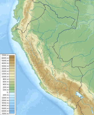
This protection forest is located in the district of Querocoto, Chota Province, Cajamarca.[1][2] It covers an extension of 2,078.38 hectares (8.0247 mi2) and protects a mountainous area dissected by small creeks.[1] Elevations in the area are between 2300 and 2800 m.[3]
Climate
Mean annual temperatures have a maximum of 10,9 °C and a minimum of 6,5 °C.[1] The annual average precipitation has a maximum of 1,722 mm and a minimum of 834 mm.[1]
Ecology
Flora
According to the Holdridge life zones classification, the vegetation type is a wet tropical mountain forest.[1] Among the plant species reported in the area are: saucecillo (Podocarpus sp.), roble amarillo (Ocotea sp.), lanche (Myrcianthes sp.), suro (Chusquea sp.), queñual (Polylepis sp.), aliso (Alnus acuminata), palm trees, tree ferns, etc.; growing in association with tall grasses.[1][2]
Fauna
Mammals reported in the forest include: the spectacled bear, the puma, the white-tailed deer, the Andean fox, the montane guinea pig, the mountain tapir, the tapeti, the pacarana, etc.[1][2][4] The rodent Thomasomys pagaibambensis is only known from the forest.[5]
Among the birds present in the area are: the razor-billed curassow, the Andean guan, the Andean condor, etc.[1][2]
The frog Pristimantis chimu is reported in this area.[6]
Remove ads
Activities
Nature watching, trekking and scientific research are the main activities in the area.[1][2][4]
Environmental issues
Deforestation is threatening the forest's area of extension.[2] In late 2016, Pagaibamba was one of several protected areas in northern Peru affected by human-caused forest fires.[7][8][9] These fires were caused by slash-and-burn agricultural practices that went out of control coupled with drought.[7][8] The burning of forests to open land for crops is considered illegal in Peru.[7]
References
External links
Wikiwand - on
Seamless Wikipedia browsing. On steroids.
Remove ads


