Top Qs
Timeline
Chat
Perspective
Pangkalan Bun
Town in Central Kalimantan From Wikipedia, the free encyclopedia
Remove ads
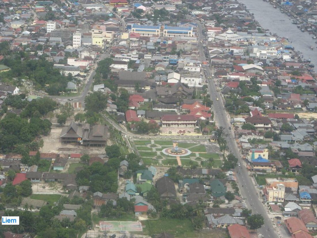
Pangkalan Bun is the capital of West Kotawaringin Regency in Central Kalimantan Province, on Borneo, Indonesia. It is an agglomeration of eight towns (kelurahan), all of which are part of South Arut District (kecamatan Arut Selatan), with a combined population of 105,514 in mid 2023.[1] It is also the administrative headquarters of South Arut District (Arut Selatan).
You can help expand this article with text translated from the corresponding article in Indonesian. (November 2013) Click [show] for important translation instructions.
|
This article needs additional citations for verification. (December 2014) |


The seven kelurahan (urban villages) of the district have a land area of 652 km2 and a population of 91,490 according to the official estimates for mid 2023; in addition to these, Pasir Panjang (which is technically classed as a rural village (desa), but is an urbanised part of the agglomeration) has a further 14,024 inhabitants in 2023. All these are listed below, together with the rural villages in the district,[2] together with their postcodes.
Pangkalan Bun is served by Iskandar Airport. Several airlines (which is Nam Air, Citilink, and Batik Air) fly to this airport. Shipping services provide connections to Jakarta, Surabaya, and Semarang.[3]
Birutė Galdikas established her base, Camp Leakey, for the study and conservation of orangutans about 48 kilometres (30 mi) from Pangkalan Bun up the Sekonyer River.[3] The site was expanded from the original hut in 1971. Its facilities, supported by the Orangutan Foundation International, are a part of the Tanjung Puting National Park.[4]
Remove ads
Crash of AirAsia QZ 8501
Iskandar Airport was one of the operation centres being used to support search operations following the crash of AirAsia QZ 8501 on 28 December 2014 in nearby Karimata Strait. Shortly after the crash, the Indonesian National Search and Rescue Agency (BASARNAS, or Badan SAR Nasional) established a post in Iskandar airport to coordinate the search. The head of the agency, Air Marshal Bambang Sulistyo, took close personal command of operations.[5]
Following confirmation of the crash, Indonesian agencies prepared over 160 coffins in Pangkalan Bun to be ready, following Indonesian practice, to take care of those who died as quickly as possible.[6] After a reception in Pangkalan Bun, the plan was to return the bodies of the people who died to their families, mostly in Surabaya in East Java where Flight QZ 8501 originated from.[7]
Remove ads
Geography
Summarize
Perspective
Pangkalan Bun is 24 metres (79 ft) above sea-level.[8]
Climate
Pangkalan Bun has a tropical rainforest climate (Af) with heavy rainfall year-round.
Remove ads
References
Wikiwand - on
Seamless Wikipedia browsing. On steroids.
Remove ads


