Top Qs
Timeline
Chat
Perspective
Pasquotank River
Waterway in North Carolina, United States From Wikipedia, the free encyclopedia
Remove ads
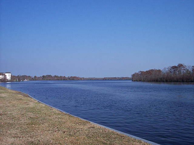
The Pasquotank River /ˈpæskwətæŋk/ ⓘ [1] is a coastal water-body in Northeastern North Carolina in the United States. Located between Camden and Pasquotank counties, the Pasquotank is a tributary of the Albemarle Sound estuary and is part of the Intracoastal Waterway via Elizabeth City.


Machelhe Island is a river island on the Pasquotank River.[2]
Remove ads
History
The name "Pasquotank" is derived from pashetanki, a Carolina Algonquian word translated as "where the current forks." The river was originally controlled by the Secotan people, and later gained importance in trade and shipping during the colonial period of North Carolina.
The Battle of Elizabeth City was fought on the Pasquotank River where a small Confederate fleet was sunk in defense of the City. The Confederate ships sunk on the Pasquotank River in the battle were the CSS Black Warrior, CSS Fanny, CSS Sea Bird, and the CSS Appomattox.
Some principal industries along the Pasquotank were transport, logging, and oyster harvesting. Since the twentieth century, the commercial viability of the river has declined, as more traffic uses the Intracoastal Waterway by way of Coinjock. The river is now primarily frequented by pleasure boaters.
Remove ads
References
External links
Wikiwand - on
Seamless Wikipedia browsing. On steroids.
Remove ads
