Top Qs
Timeline
Chat
Perspective
Savitaipale
Municipality in South Karelia, Finland From Wikipedia, the free encyclopedia
Remove ads
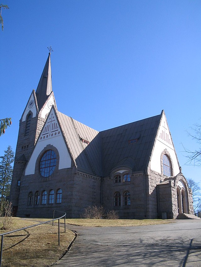
Savitaipale (Finnish: [ˈsɑʋiˌtɑi̯pɑle]; literally translated the "clay passage") is a municipality of Finland. It is located in the South Karelia region. The municipality has a population of 3,151 (30 June 2025)[2] and covers an area of 690.56 square kilometres (266.63 sq mi) of which 150.81 km2 (58.23 sq mi) is water.[1] The population density is 5.84 inhabitants per square kilometre (15.1/sq mi).


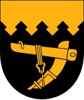
The bastionné line of the coat of arms refers to Savitaipale's position as a border keeper in the period between the Treaty of Åbo (Turku) concluded in 1743 and the border review carried out in 1812. The plough in the coat of arms refers to the local agriculture in the region. The coat of arms was designed by Viljo Savikurki, and the Savitaipale municipal council approved it on January 2, 1953. The Ministry of the Interior approved the coat of arms for use on March 3 of the same year.[5][6]
Remove ads
People
- Jonni Myyrä (1892–1955)
- Päivi Tikkanen (born 1960)
- Taneli Tikka (born 1978)
See also
- "Savitaipaleen polkka" — also known as "Ievan polkka"
- Kärnäkoski Fortress — a bastion fortress in Kärnäkoski, Savitaipale
References
External links
Wikiwand - on
Seamless Wikipedia browsing. On steroids.
Remove ads


