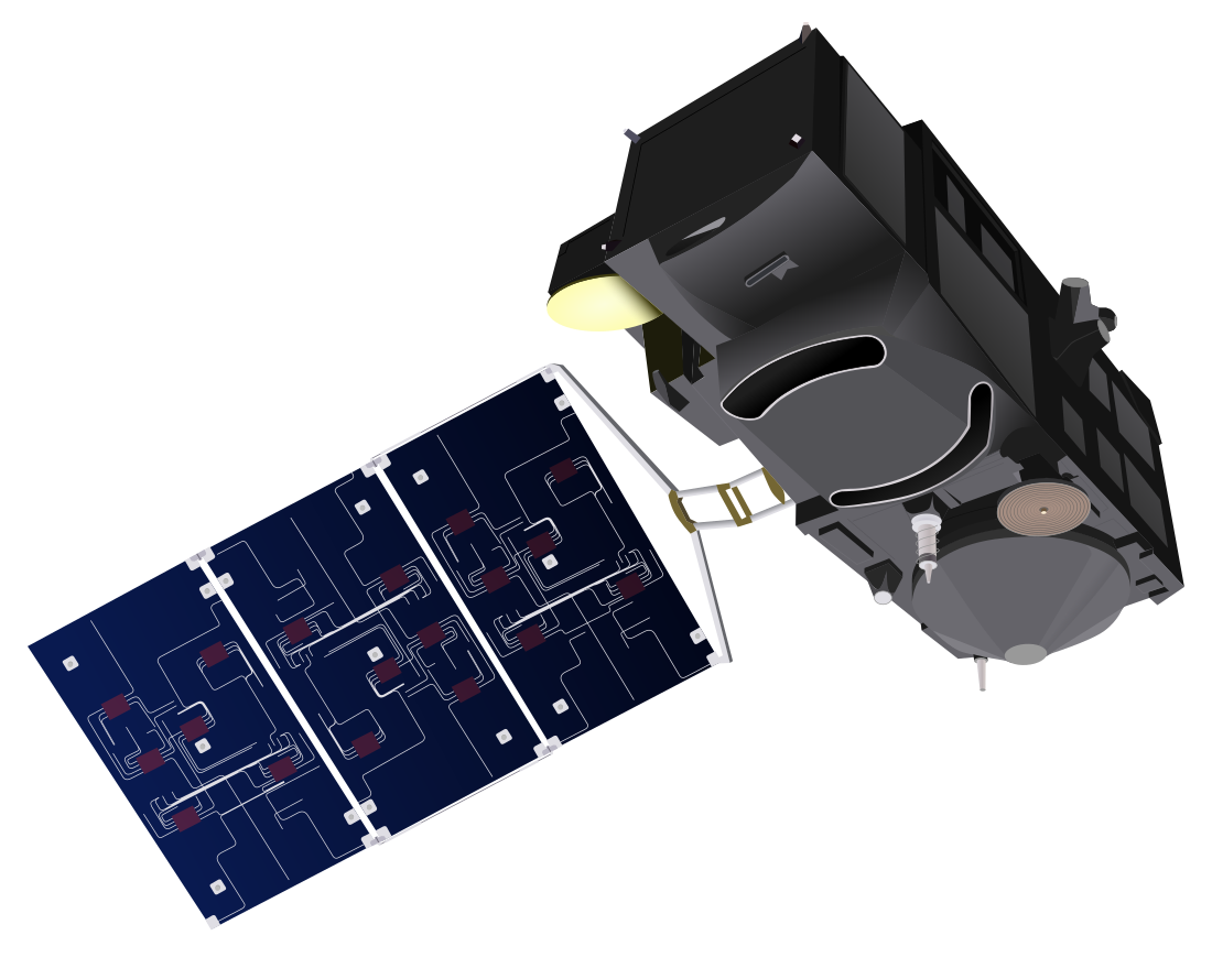
Sentinel-3B is a European Earth observation satellite dedicated to oceanography which launched on 25 April 2018.[1] It was built as a part of the Copernicus Programme, and is the second (after Sentinel-3A, launched 16 February 2016) of four planned Sentinel-3 satellites.
Quick facts Mission type, Operator ...
Sentinel-3B Vector drawing of the Sentinel-3 |
|
| Mission type | Earth observation |
|---|
| Operator | ESA · EUMETSAT |
|---|
| COSPAR ID | 2018-039A |
|---|
| SATCAT no. | 43437 |
|---|
| Website | Sentinel-3 (ESA) |
|---|
| Mission duration | Planned: 7 years
Elapsed: 7 years, 7 months, 18 days |
|---|
|
|
|
|
| Spacecraft type | Sentinel-3 |
|---|
| Bus | Prima |
|---|
| Manufacturer | Thales Alenia Space[1] |
|---|
| Launch mass | 1,250 kg (2,756 lb)[2] |
|---|
| Dry mass | 1,150 kg (2,535 lb)[3] |
|---|
| Dimensions | 3.9 × 2.2 × 2.2 m (12.8 × 7.2 × 7.2 ft)[2] |
|---|
| Power | 2,300 watts[3] |
|---|
|
|
|
|
| Launch date | 25 April 2018, 17:57:51 (2018-04-25UTC17:57:51) UTC[1] |
|---|
| Rocket | Rokot/Briz-KM |
|---|
| Launch site | Plesetsk Cosmodrome, Site 133 |
|---|
| Contractor | Eurockot Launch Services |
|---|
|
|
|
|
| Reference system | Geocentric |
|---|
| Regime | Sun-synchronous |
|---|
| Semi-major axis | 7,180.77 km (4,461.92 mi) |
|---|
| Eccentricity | 0.0001027 |
|---|
| Perigee altitude | 801.90 km (498.28 mi) |
|---|
| Apogee altitude | 803.38 km (499.20 mi) |
|---|
| Inclination | 98.6276° |
|---|
| Period | 100.93 min |
|---|
| RAAN | 183.84° |
|---|
| Argument of perigee | 96.39° |
|---|
| Mean motion | 14.26 rev/day |
|---|
| Repeat interval | 27 days[4] |
|---|
| Epoch | 25 April 2018, 20:50:15 UTC[5] |
|---|
|
|
|
|
| Band | S band (TT&C support)
X band (science data) |
|---|
| Bandwidth | S band: 64 kbit/s uplink, 1 Mbit/s downlink
X band: 2 × 280 Mbit/s |
|---|
|
|
| Instruments |
|---|
| OLCI | Ocean and Land Colour Instrument |
|---|
| SLSTR | Sea and Land Surface Temperature Radiometer |
|---|
| SRAL | Synthetic Aperture Radar Altimeter |
|---|
| MWR | Microwave Radiometer |
|---|
| DORIS | Doppler Orbitography and Radiopositioning Integrated by Satellite |
|---|
| LRR | Laser Retro-Reflector |
|---|
| GNSS | Global Navigation Satellite System |
|---|
|
| |
Close

