Top Qs
Timeline
Chat
Perspective
Shamkirchay reservoir
Reservoir in Shamkir District From Wikipedia, the free encyclopedia
Remove ads
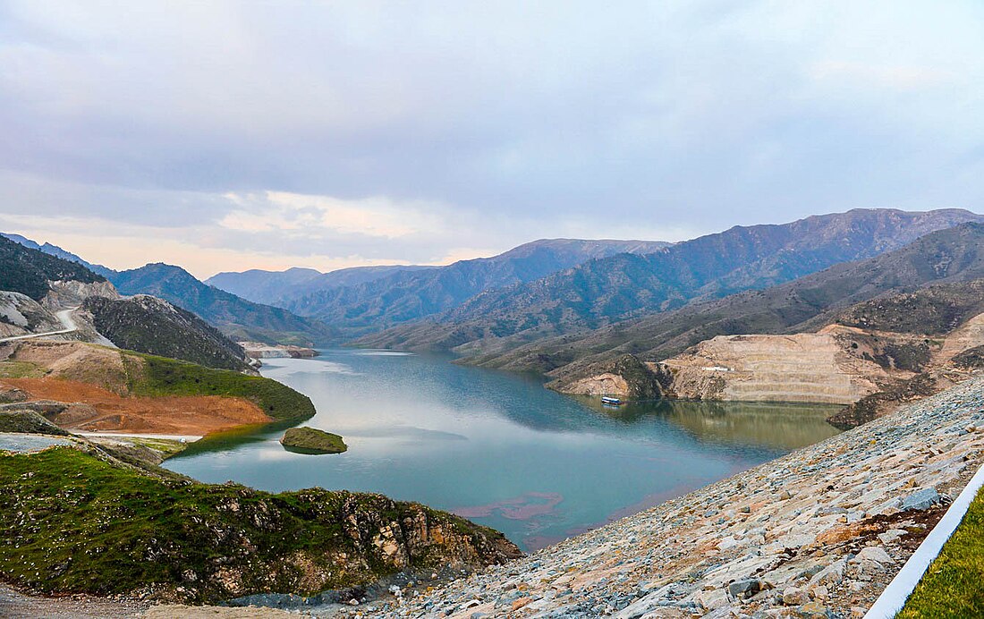
Shamkirchay reservoir[1][2] (Azerbaijani: Şəmkirçay su anbarı) is an artificial reservoir in the Shamkir district of Azerbaijan. It is located on the slope of the Lesser Caucasus[1] on the Shamkirchay river. The volume of the reservoir is 164.5 million m3[3][4] (according to other sources - 164 million m3[5][6]). Useful volume considered - 156.3 million m3.[4]
The reservoir was commissioned in 2014.[4][6] It is used for the irrigation of 70 thousand hectares of agricultural land, and also serves as a source of water for Shamkir and Ganja cities.[4][5][6] It also helps to protect the lower course of Kura from floods.[6]
The hydroelectric power plant located in the reservoir has a capacity of 24.4 MW.[4]
The climate in the vicinity of the reservoir is moderately warm, typical for dry steppes.[7] The average annual temperature is 12.9 °C,[7] the average July temperature is 23-26 °C, the maximum can reach 37-40 °C.[1] In winter, temperatures stay near freezing.[1] There are registered 350–600 mm of precipitation falls annually[7] (according to other sources - 240-390mm[1]). Evaporation makes 700–1100 mm.[7] The average annual air humidity is 67%.[7]
The soils in the reservoir basin are predominantly (80% of the area) gray-brown (chestnut), have a thickness of the fertile layer of 40–50 cm.[1]
Remove ads
See also
References
Wikiwand - on
Seamless Wikipedia browsing. On steroids.
Remove ads


