Top Qs
Timeline
Chat
Perspective
Sog County
County in Tibet, China From Wikipedia, the free encyclopedia
Remove ads
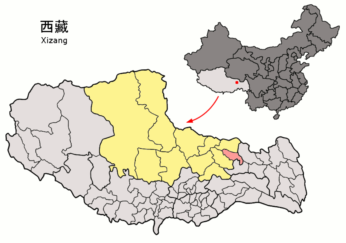
Sog County (Tibetan: སོག་རྫོང་།, Chinese: 索县) is a county under the administration of the prefecture-level city of Nagqu of the Tibet Autonomous Region, China.
Remove ads
Geography
Summarize
Perspective
Sog Dzong lies in the extreme western part of the former province of Kham. To its west is Chamdo and to its right Nagchu. Sogdzong is located between the Drachen and Driru, on the Sogchu River. It is the source of Gyalmo Ngulchu.
Climate
Sog County has a dry-winter alpine subarctic climate (Köppen Dwc) with mild, rainy summers and freezing to frigid, dry winters with large diurnal temperature variations.
Remove ads
Administrative divisions
Sog County contains 2 towns and 8 townships.
Remove ads
Economy
Crops include barley, wheat, radish, potatoes, etc. and yaks, sheep, goat, cows, and horses are reared. Nomads move four times annually according to seasons. The county contains Tsangdain Monastery, built in 1667, resembling the Potala Palace.[7]
References
Transport
External links
Wikiwand - on
Seamless Wikipedia browsing. On steroids.
Remove ads


