Top Qs
Timeline
Chat
Perspective
Administrative divisions of Iran
From Wikipedia, the free encyclopedia
Remove ads
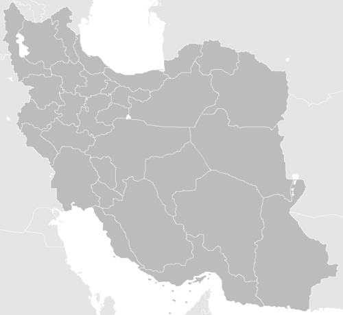
The administrative divisions of Iran are arranged in four levels, the first level of which is the province (Persian: استان: ostān). Provinces are divided into counties (شهرستان: shahrestān); counties are divided into districts (بخش: bakhsh); and districts are divided into rural districts (دهستان: dehestān) and cities (شهر: shahr). Rural districts contain villages and other population points. One of the cities of the county is appointed as the capital (مرکز: markaz, or center) of the county.[1]
Map of Iran's provinces
This article needs attention from an expert in Iran. See the talk page for details. (March 2020) |
According to the Statistical Center of Iran, the figures are as follows, as of March 2016[update] (end of Iranian calendar 1394):[2]
Remove ads
Guide
The total population of a province is the total of its counties.
The total population of a county is the total of its districts.
The total population of a district is the total of its cities and rural districts.
To better understand these subdivisions, the following table for Sepidan County in Fars province (as it existed in 2006) is an example showing the hierarchy of a county's divisions:

Remove ads
See also
Notes
- Transferred to Beyza County after the 2016 census[4]
References and notes
Wikiwand - on
Seamless Wikipedia browsing. On steroids.
Remove ads


