Top Qs
Timeline
Chat
Perspective
Svilaja
Mountain range in Croatia From Wikipedia, the free encyclopedia
Remove ads
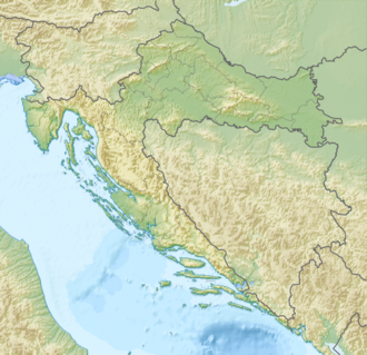
Svilaja is a mountain range in Croatia, in the Dalmatian Hinterland.
It is part of the Dinaric Alps and stretches from the town of Sinj northwest to the Petrovo field, approximately 30 km in length. The highest peak is Svilaja or Bat at 1508 m.a.s.l.[2] Some of the other northwest peaks are Jančak (1483 m), Kita (1413 m), Turjača (1340 m), and Lisina (1301 m) which is closest to the town of Vrlika.
From the nearest mountain cliff Veliki Kozjak (1207 m), which is a northwest continuation of Svilaja, it is separated by the saddle called Lemeš (860 m) above the village of Maovice.

The Bat summit overlooks the Adriatic Sea, Peruća lake, and mountain ranges farther in Bosnia and Herzegovina. The summit is easily approachable from southeast, either by following an unpaved road from Donje Ogorje or by taking the marked trail from Orlove Stine mountain lodge. Northern parts of the mountain are deemed dangerous because of the mines left during the Croatian War of Independence.[3]
Remove ads
Mountain huts
In the 1937 and 1938 seasons, the mountain hut on Svilaja was under construction.[4]: 243 [5]: 243


See also
References
Bibliography
Wikiwand - on
Seamless Wikipedia browsing. On steroids.
Remove ads


