Top Qs
Timeline
Chat
Perspective
Tarbagatai Mountains
Mountain range straddling the China–Kazakhstan border From Wikipedia, the free encyclopedia
Remove ads
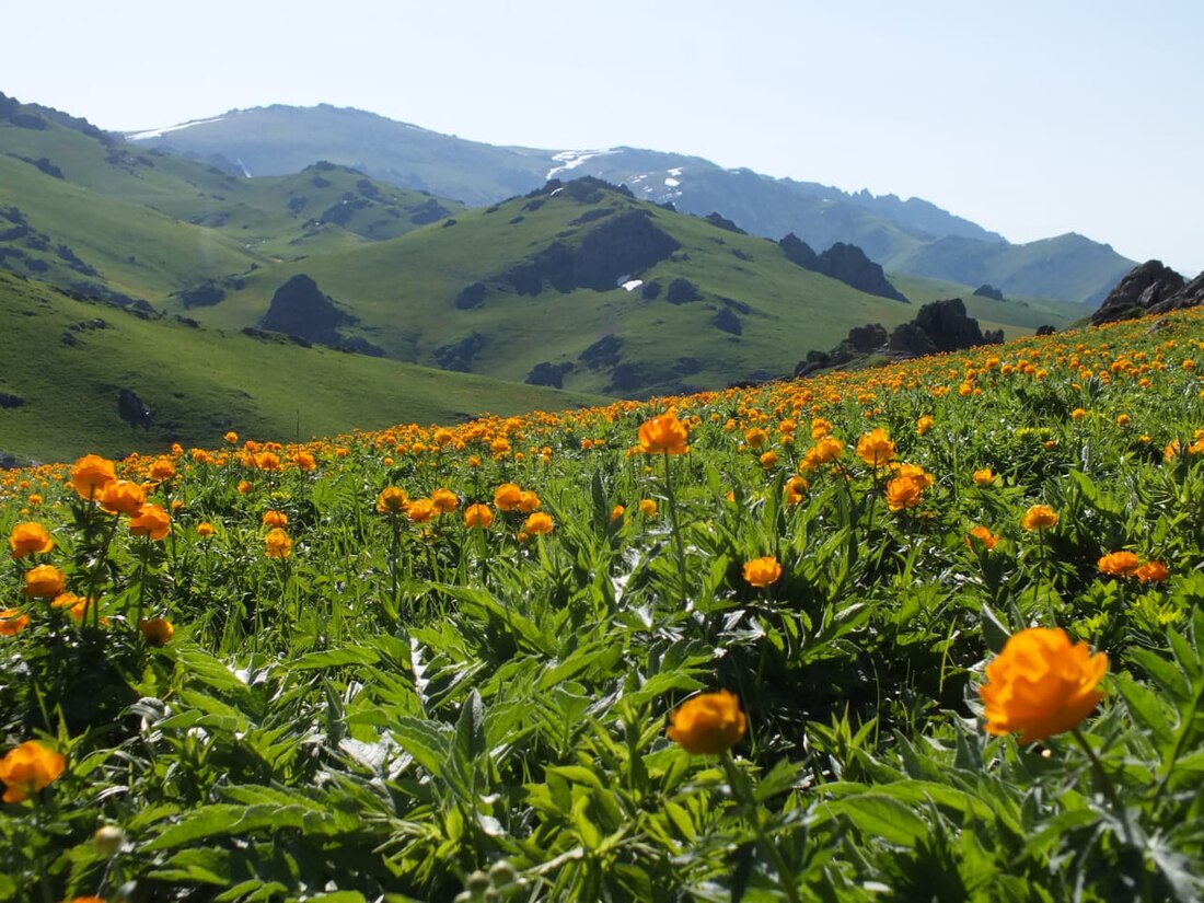
The Tarbagatai Mountains are a mountain range straddling the China–Kazakhstan border, located in northwestern Xinjiang, China, and the Abai Region of East Kazakhstan. The name of the mountain derived from the Mongolian word tarvaga, meaning "marmot", with the suffix -tai, literally "to have" or "with". Tarbagan marmots live in this mountain range.[1]
This article needs additional citations for verification. (January 2024) |
An eastern extension of the Tarbagatai is the Saur Mountains.
Remove ads
Drainage
As is common for mountain ranges, there is more precipitation in the Tarbagatai mountains than in the adjacent flatlands. The mountains are thus an important watershed. Streams from the northern slopes of the Tarbagatai flow into Lake Zaysan, which eventually drains (via the Irtysh) into the Arctic Ocean. The streams of the southern slope, many of which merge into the Emil, flow into the Emin Valley, part of the endorheic Balkhash-Alakol Basin; they are an important source of water for several counties of Tacheng (Tarbagatay) Prefecture in China. The Urzhar has its sources in the range.
Remove ads
References
Wikiwand - on
Seamless Wikipedia browsing. On steroids.
Remove ads


