Top Qs
Timeline
Chat
Perspective
Tat Momoli, Arizona
CDP in Pinal County, Arizona From Wikipedia, the free encyclopedia
Remove ads
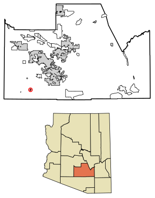
Tat Momoli (O'odham: Taḍ Memelkuḍ) is a census-designated place located in Pinal County, Arizona, United States, on the Tohono Oʼodham Indian Reservation. As of the Census of 2010 it had a population of 10 with a population density of 4.16 people per km2.[2]
Remove ads
Geography
Tat Momoli is located at 32°36′4″N 111°53′10″W. According to the United States Census Bureau, Tat Momoli has a total area of 2.41 km2, all land.[3]
Demographics
According to the Census of 2010,[5] there were 10 people living in Tat Momoli. The population density was 4.16 people/km2. Of the 10 residents, Tat Momoli was composed of 10% whites, 60% American Indians or Alaska Natives, and 30% were some other race. Out of the total population 30% were Hispanic or Latino of any race.[6]
Remove ads
Education
It is within the Stanfield Elementary School District and the Casa Grande Union High School District.[7]
References
Wikiwand - on
Seamless Wikipedia browsing. On steroids.
Remove ads

