Top Qs
Timeline
Chat
Perspective
Taysan
Municipality in Batangas, Philippines From Wikipedia, the free encyclopedia
Remove ads
Taysan, officially the Municipality of Taysan (Tagalog: Bayan ng Taysan), is a municipality in the province of Batangas, Philippines. According to the 2020 census, it has a population of 40,146 people.[5]
Remove ads
Etymology
Taysan may have derived its name from the following Tagalog words:
- Atisan, which means "a place where atis abound nearing Lobo."[6]
- Tiis, which translates to "to bear with fortitude," as early natives experienced hardships during their entry and stay at the area due to its remote location accessible through many river crossings and dangerous trails, according to a folklore.[6] A traveler also shouted "Tiisan!" (Tagalog for endure) on the way to the area, sticking to it until it is called Taisan or Taysan.[7]
Remove ads
History
Taysan traces its origin to Mercedes, a barrio part of Rosario. It was later converted into a municipality known as Taysan, according to Manuel Sastron's 1895 publication Batangas y Su Provincia.[7] Lobo was consolidated with it in 1903[8] but was merged with Rosario in the same year. Taysan was officially made an independent municipality in 1919.[9]
Geography
Summarize
Perspective
Taysan is located at 13°47′N 121°12′E.
According to the Philippine Statistics Authority, the municipality has a land area of 93.62 square kilometers (36.15 sq mi) [10] constituting 3.00% of the 3,119.75-square-kilometer (1,204.54 sq mi) total area of Batangas.
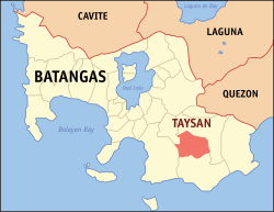
Taysan is bordered on the north by Rosario and Ibaan, east by a portion of Rosario, west by Batangas City, and south by Lobo.
Barangays
Taysan is politically subdivided into 20 barangays, as shown in the matrix below.[11] Each barangay consists of puroks and some have sitios.
Climate
Remove ads
Demographics
In the 2020 census, Taysan had a population of 40,146.[19] The population density was 430 inhabitants per square kilometer (1,100/sq mi).
Remove ads
Economy
Poverty incidence of Taysan
10
20
30
40
50
2000
49.24 2003
36.92 2006
21.20 2009
16.62 2012
14.94 2015
13.00 2018
11.77 2021
6.38 Source: Philippine Statistics Authority[20][21][22][23][24][25][26][27] |
Gallery
- Municipal hall
- Public market
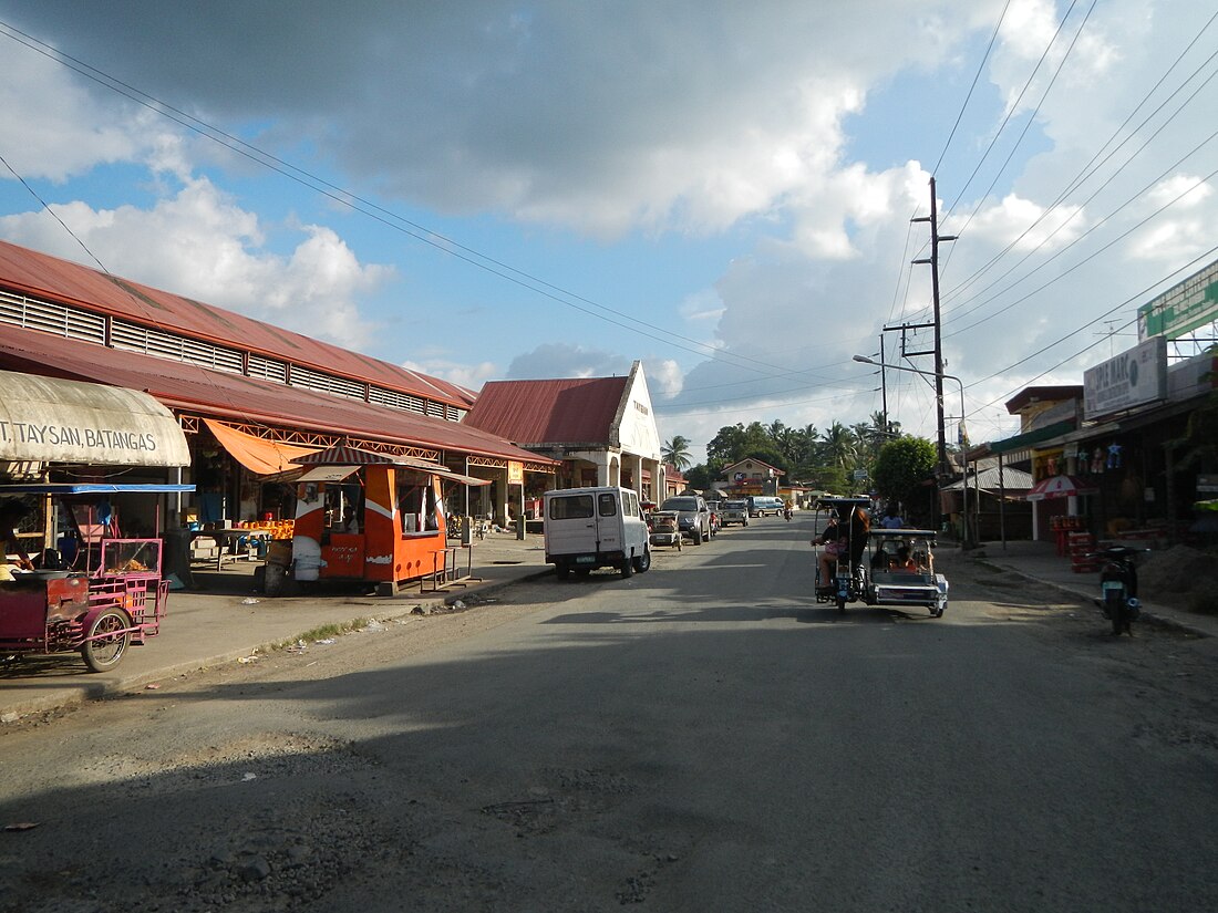
- A street in town
- Nuestra Señora dela Merced Parish Church
References
External links
Wikiwand - on
Seamless Wikipedia browsing. On steroids.
Remove ads


