Top Qs
Timeline
Chat
Perspective
USA-262
American navigation satellite used for GPS From Wikipedia, the free encyclopedia
Remove ads
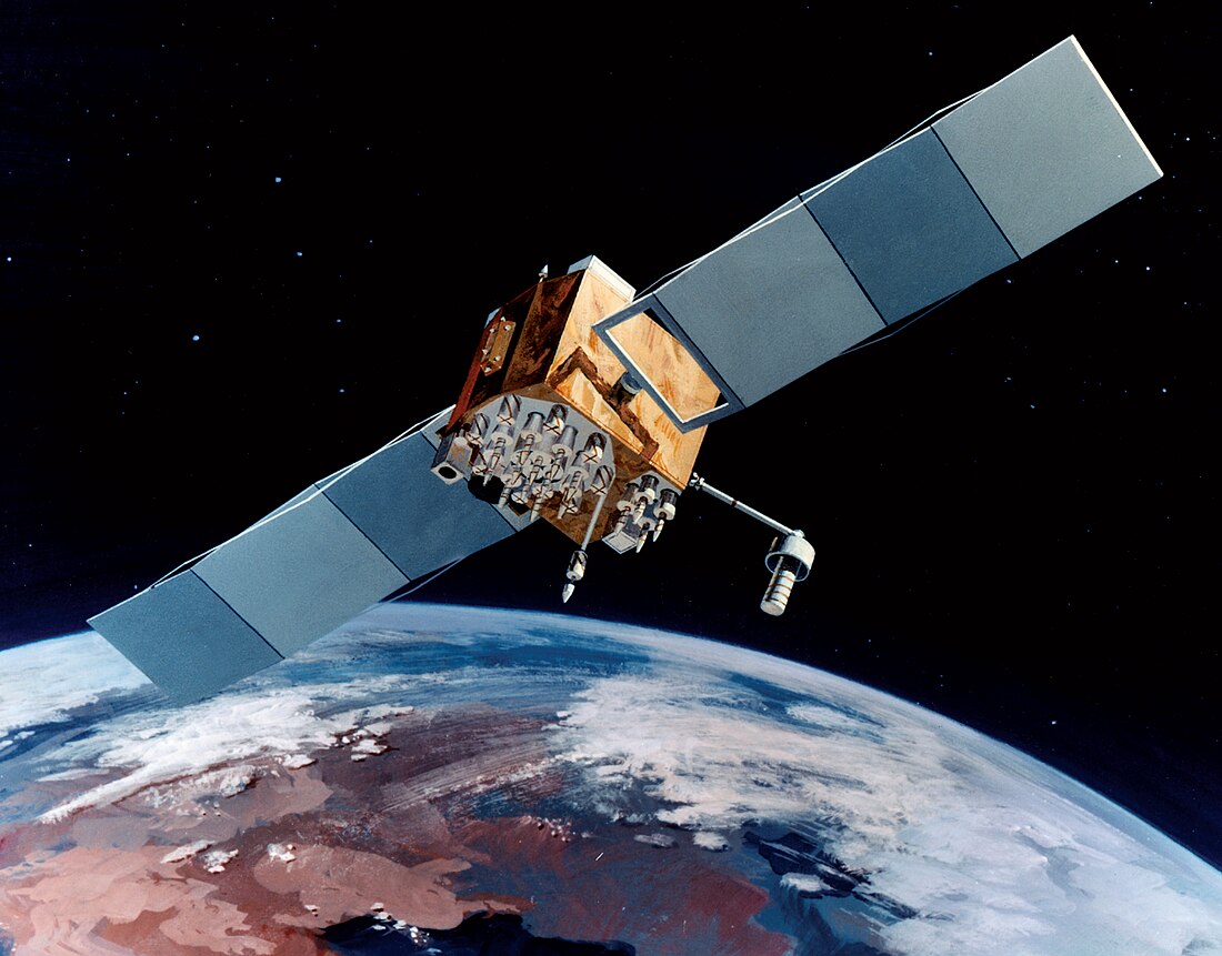
USA-262, also known as GPS IIF-10, GPS SVN-72 and NAVSTAR 74, is an American navigation satellite which forms part of the Global Positioning System. It was the tenth of twelve Block IIF satellites to be launched.[2]
Remove ads
Launch
Built by Boeing and launched by United Launch Alliance, USA-262 was launched at 15:36 UTC on 15 July 2015, atop an Atlas V 401 carrier rocket, vehicle number AV-055.[3] The launch took place from Space Launch Complex 41 at the Cape Canaveral Air Force Station,[5] and placed USA-262 directly into semi-synchronous orbit.[4]
Orbit
As of 15 July 2015, USA-262 was in an orbit with a perigee of 20,445 kilometers (12,704 mi), an apogee of 20,450 kilometers (12,710 mi), a period of 728.77 minutes, and 55.00 degrees of inclination to the equator.[4] It is used to broadcast the PRN 08 signal, and operates in slot 3 of plane C of the GPS constellation. The satellite has a design life of 15 years and a mass of 1,630 kilograms (3,590 lb). [2] It is currently in service following commissioning on August 12, 2015.[6]
Remove ads
References
Wikiwand - on
Seamless Wikipedia browsing. On steroids.
Remove ads

