Hochvernaglwand
De Wikipédia, l'encyclopédie libre
La Hochvernaglwand est une montagne qui s’élève à 3 432 ou 3 433 m d’altitude dans les Alpes de l'Ötztal, à la frontière entre l'Autriche et l'Italie.
| Hochvernaglwand | |||||
 Vue depuis Im hintern Eis, au sud-est. | |||||
| Géographie | |||||
|---|---|---|---|---|---|
| Altitude | 3 432 ou 3 433 m[1],[2] | ||||
| Massif | Alpes de l'Ötztal (Alpes) | ||||
| Coordonnées | 46° 49′ 04″ nord, 10° 45′ 32″ est[2],[1] | ||||
| Administration | |||||
| Pays | |||||
| Land Région à statut spécial |
Tyrol Trentin-Haut-Adige |
||||
| District Province autonome |
Imst Bolzano |
||||
| Géolocalisation sur la carte : Autriche
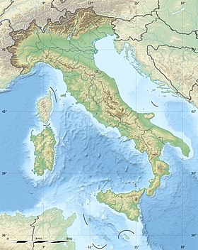
Géolocalisation sur la carte : Italie
Géolocalisation sur la carte : Tyrol
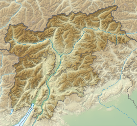
Géolocalisation sur la carte : Trentin-Haut-Adige
| |||||
| modifier |
|||||
Elle forme avec la Hintere Hintereisspitze (3 485 m), la Vordere Hintereisspitze (3 437 m) et la Mittlere Hintereisspitze (3 450 m) la frontière sud-est du Gepatschferner (en italien Vedretta della Croda)
Notes et références
Wikiwand in your browser!
Seamless Wikipedia browsing. On steroids.
Every time you click a link to Wikipedia, Wiktionary or Wikiquote in your browser's search results, it will show the modern Wikiwand interface.
Wikiwand extension is a five stars, simple, with minimum permission required to keep your browsing private, safe and transparent.


