Top Qs
Tijdlijn
Chat
Perspectief
Castle Morpeth
Van Wikipedia, de vrije encyclopedie
Remove ads
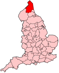
Castle Morpeth was van 1974 tot 2009 een Engels district in het graafschap Northumberland en telde in 2001 49.001 inwoners. De oppervlakte bedroeg 618,2 km².
Van de bevolking was 19,2% ouder dan 65 jaar. De werkloosheid bedroeg 2,8% van de beroepsbevolking (cijfers volkstelling 2001).
Remove ads
Plaatsen in district Castle Morpeth
- Belsay
- Capheaton
- Cresswell
- East Chevington
- Ellington and Linton
- Hartburn
- Hebron
- Heddon-on-the-Wall
- Hepscott
- Longhirst
- Longhorsley
- Lynemouth
- Matfen
- Meldon
- Mitford
- Morpeth
- Netherwitton
- Pegswood
- Ponteland
- Stamfordham
- Stannington
- Stobswood
- Thirston
- Ulgham
- Wallington Demesne
- Whalton
- Widdrington
- Tritlington and West Chevington
- Widdrington Station and Stobswood
Bronnen, noten en/of referenties
Remove ads
Wikiwand - on
Seamless Wikipedia browsing. On steroids.
Remove ads


