Stokes Peaks
From Wikipedia, the free encyclopedia
Remove ads
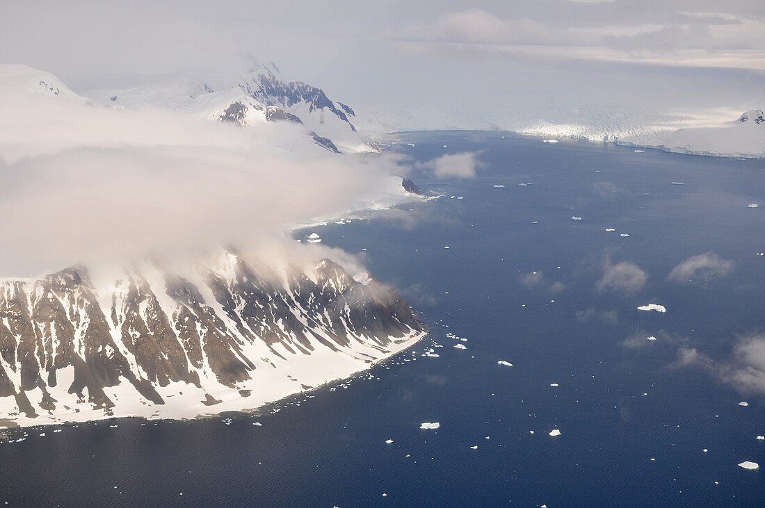
Stokes Peaks er ei gruppe fjelltoppar med ei høgd opp mot kring 800 m mellom McCallum Pass og Sighing Peak på nordsida av Wright Peninsula på Adelaide Island i Antarktis. Dei vart fotograferte frå lufta av Falkland Islands and Dependencies Aerial Survey Expedition (FIDASE), 1956–57, og kartlagd av British Antarctic Survey (BAS) i 1961-62. Dei vart namngjevne av United Kingdom Antarctic Place-Names Committee (UK-APC) i 1977 for Jeffrey C.A. Stokes, som var assisterande landmålar i Falkland Islands Dependencies Survey (FIDS) i Admiralty Bay, 1959–60 og Adelaide Island, 1960-61.
Remove ads
Kjelder
![]() Denne artikkelen inneheld stoff som er offentleg eige frå United States Geological Survey-artikkelen «Stokes Peaks» (innhald frå Geographic Names Information System).
Denne artikkelen inneheld stoff som er offentleg eige frå United States Geological Survey-artikkelen «Stokes Peaks» (innhald frå Geographic Names Information System).
Wikiwand - on
Seamless Wikipedia browsing. On steroids.
Remove ads


