Saint-Lieux-Lafenasse
miejscowość i dawna gmina we Francji Z Wikipedii, wolnej encyklopedii
miejscowość i dawna gmina we Francji Z Wikipedii, wolnej encyklopedii
Seamless Wikipedia browsing. On steroids.
Every time you click a link to Wikipedia, Wiktionary or Wikiquote in your browser's search results, it will show the modern Wikiwand interface.
Wikiwand extension is a five stars, simple, with minimum permission required to keep your browsing private, safe and transparent.
Saint-Lieux-Lafenasse – miejscowość i dawna gmina we Francji, w regionie Oksytania, w departamencie Tarn. W 2016 roku populacja ówczesnej gminy wynosiła 466 mieszkańców[1].
 Lafenasse | |||
| |||
| Państwo | |||
|---|---|---|---|
| Region | |||
| Departament | |||
| Okręg | |||
| Gmina | |||
| Kod statystyczny |
81260 | ||
| Powierzchnia |
12,07 km² | ||
| Populacja (2016) • liczba ludności |
| ||
| Kod pocztowy |
81120 | ||
Położenie na mapie Tarn 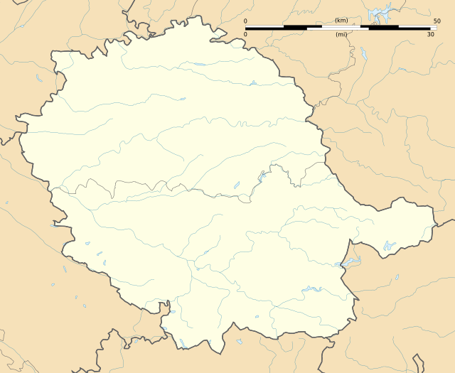 | |||
Położenie na mapie Francji 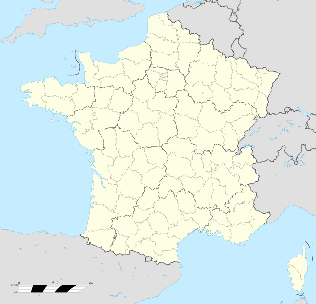 | |||
Położenie na mapie Oksytanii 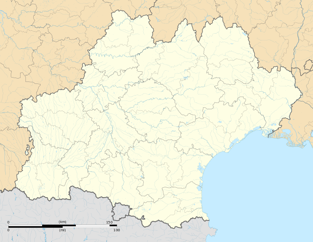 | |||
W dniu 1 stycznia 2019 roku z połączenia sześciu ówczesnych gmin – Roumégoux, Ronel, Saint-Antonin-de-Lacalm, Saint-Lieux-Lafenasse, Terre-Clapier oraz Le Travet – powstała nowa gmina Terre-de-Bancalié. Siedzibą gminy została miejscowość Roumégoux[2].

.svg)