Ayent is a municipality of the district Hérens in the canton of Valais in Switzerland.
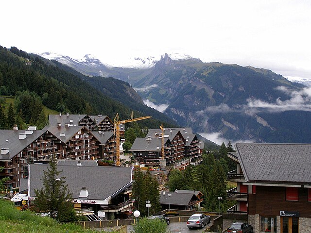 Anzère
Quick facts Country, Canton ...
Ayent |
|---|
|
 Coat of arms |
|
Show map of Canton of Valais |
| Coordinates: 46°17′N 7°24′E |
| Country | Switzerland |
|---|
| Canton | Valais |
|---|
| District | Hérens |
|---|
|
| • Total | 55.0 km2 (21.2 sq mi) |
|---|
| Elevation | 967 m (3,173 ft) |
|---|
| Highest elevation (Wildhorn) | 3,247 m (10,653 ft) |
|---|
| Lowest elevation (hameau de la Maya) | 508 m (1,667 ft) |
|---|
|
| • Total | 4,059 |
|---|
| • Density | 74/km2 (190/sq mi) |
|---|
| Time zone | UTC+01:00 (Central European Time) |
|---|
| • Summer (DST) | UTC+02:00 (Central European Summer Time) |
|---|
| Postal code(s) | 1966 |
|---|
| SFOS number | 6082 |
|---|
| Localities | Botyre, Luc, Saxonne, La Place, Blignou, Fortunoz, Saint-Romain, Signèse, Villa, Argnou, Anzère |
|---|
| Surrounded by | Arbaz, Grimisuat, Icogne, Lauenen (BE), Lenk im Simmental (BE), Saint-Léonard, Savièse, Sion |
|---|
| Twin towns | Saint-Brévin-les-Pins (France) |
|---|
| Website | www.ayent.ch
SFSO statistics |
|---|
Close


