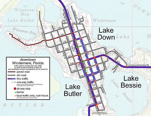
Grid plan
type of city plan in which streets run at right angles to each other, forming a grid From Wikipedia, the free encyclopedia
Remove ads
A grid plan is the first basic plan in urban planning. It is a type of city plan in which streets run at right angles to each other, forming a grid. In ancient Rome a grid plan method of land measurement was called a centuriation.[1]

Early grid-plans were developed in Indus Valley civilization.[2] It was also widely used in ancient Greece.[3]
Related pages
References
Other websites
Wikiwand - on
Seamless Wikipedia browsing. On steroids.
Remove ads
