Jackson County, Mississippi
county in Mississippi, United States From Wikipedia, the free encyclopedia
Remove ads
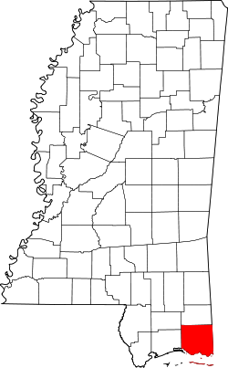
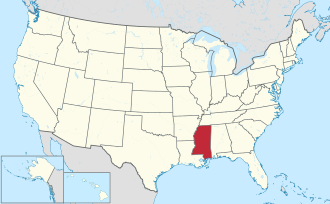
Jackson County is a county in the U.S. state of Mississippi. As of the 2020 census, 143,252 people lived there[1] which makes it the fifth-most populous county in Mississippi. Its county seat is Pascagoula.[2]
Remove ads
History
The county was founded in 1812 and named for Andrew Jackson, general in the United States Army and afterward President of the United States.[3]
Geography
According to the U.S. Census Bureau, the county has a total area of 1,043 square miles (2,700 km2), of which 723 square miles (1,870 km2) is land and 321 square miles (830 km2) (31%) is water.[4] It is the largest county in Mississippi by total area.
Bordering counties
- George County - north
- Mobile County, Alabama - east
- Harrison County - west
- Stone County - northwest
Communities
Cities
- Gautier
- Moss Point
- Ocean Springs
- Pascagoula (county seat)
Census-designated places
- Big Point
- Escatawpa
- Gulf Hills
- Gulf Park Estates
- Helena
- Hickory Hills (former CDP)
- Hurley
- Latimer
- St. Martin
- Vancleave
- Wade
Unincorporated places
- East Moss Point
- Gulf Islands National Seashore
Ghost towns
- Brewton
References
Other websites
Wikiwand - on
Seamless Wikipedia browsing. On steroids.
Remove ads


