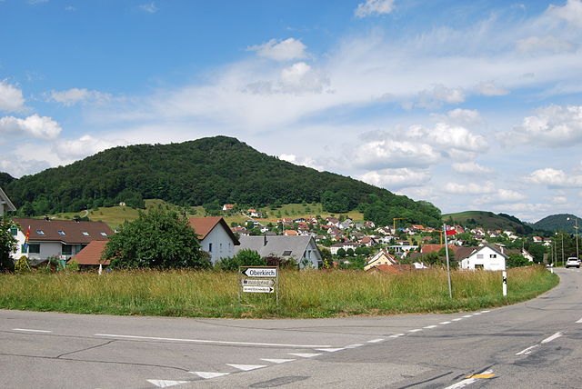
Nunningen is a municipality in the district of Thierstein in the canton of Solothurn in Switzerland.
 Nunningen
Quick facts Country, Canton ...
Nunningen |
|---|
|
 Coat of arms |
|
Show map of Canton of Solothurn |
| Coordinates: 47°24′N 7°37′E |
| Country | Switzerland |
|---|
| Canton | Solothurn |
|---|
| District | Thierstein |
|---|
|
| • Total | 10.27 km2 (3.97 sq mi) |
|---|
| Elevation | 621 m (2,037 ft) |
|---|
|
| • Total | 1,880 |
|---|
| • Density | 180/km2 (470/sq mi) |
|---|
| Time zone | UTC+01:00 (Central European Time) |
|---|
| • Summer (DST) | UTC+02:00 (Central European Summer Time) |
|---|
| Postal code(s) | 4208 |
|---|
| SFOS number | 2621 |
|---|
| Surrounded by | Beinwil, Breitenbach, Bretzwil (BL), Fehren, Himmelried, Lauwil (BL), Meltingen, Seewen, Zullwil |
|---|
| Website | www.nunningen.ch
SFSO statistics |
|---|
Close


