File:China_Heilongjiang_relief_location_map.png
維基百科,自由的 encyclopedia
預覽大小:540 × 600 像素。 其他解析度:216 × 240 像素 | 432 × 480 像素 | 691 × 768 像素 | 922 × 1,024 像素 | 2,000 × 2,222 像素。
原始檔案 (2,000 × 2,222 像素,檔案大小:8.67 MB,MIME 類型:image/png)
| 描述China Heilongjiang relief location map.png |
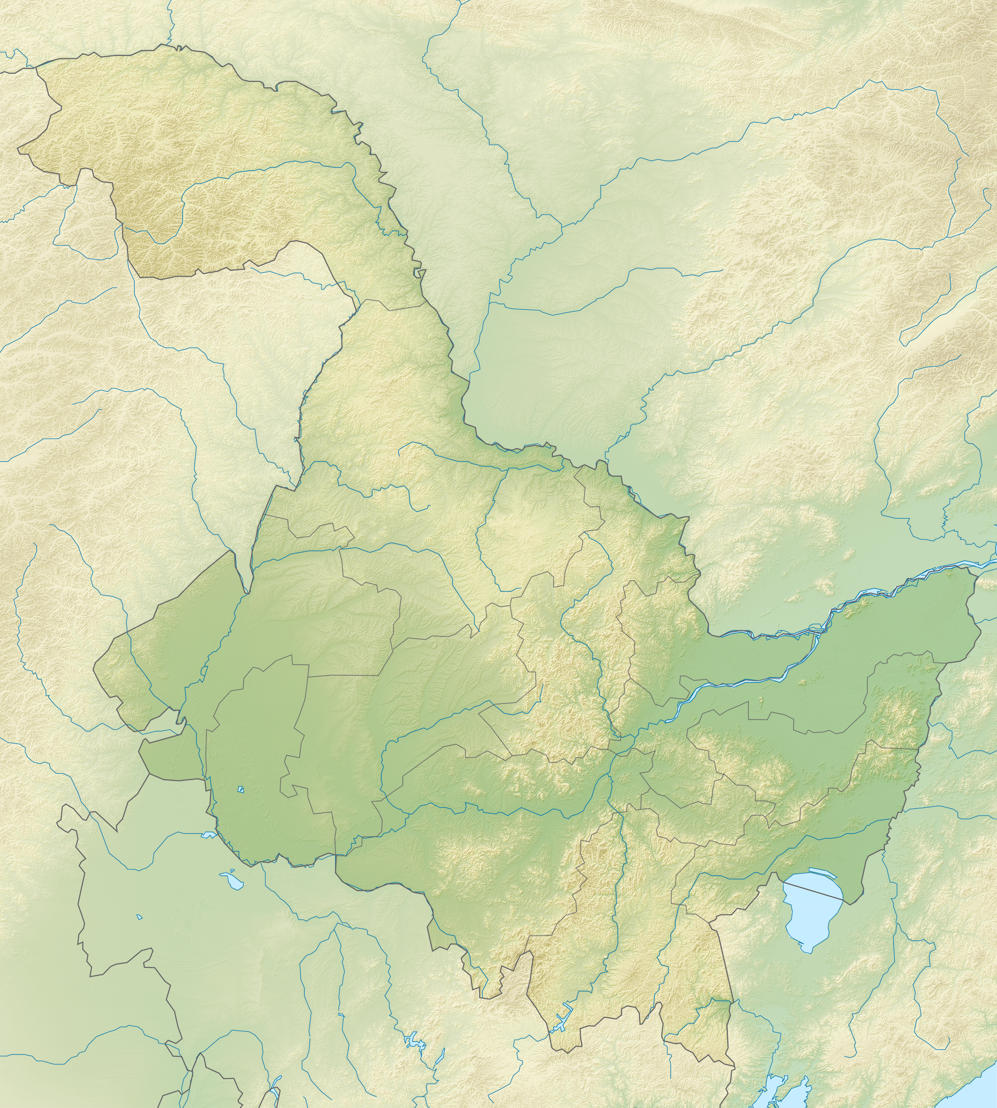
English: Location map of Heilongjiang, People's Republic of China Equirectangular projection, N/S stretching 141 %. True scale parallel: 45°00' N.
Geographic limits of the map:
|
| 日期 | (UTC) |
| 來源 | |
| 作者 |
|
| 這是一張修飾過的圖片,即本圖片是用軟體修改過後的版本。原版圖片來源:China Heilongjiang location map.svg。修改者:Das steinerne Herz。
|
我,本作品的著作權持有者,決定用以下授權條款發佈本作品:
此檔案採用共享創意 姓名標示-相同方式分享 3.0 未在地化版本授權條款。
- 您可以自由:
- 分享 – 複製、發佈和傳播本作品
- 重新修改 – 創作演繹作品
- 惟需遵照下列條件:
- 姓名標示 – 您必須指名出正確的製作者,和提供授權條款的連結,以及表示是否有對內容上做出變更。您可以用任何合理的方式來行動,但不得以任何方式表明授權條款是對您許可或是由您所使用。
- 相同方式分享 – 如果您利用本素材進行再混合、轉換或創作,您必須基於如同原先的相同或兼容的條款,來分布您的貢獻成品。

|
已授權您依據自由軟體基金會發行的無固定段落、封面文字和封底文字GNU自由文件授權條款1.2版或任意後續版本,對本檔進行複製、傳播和/或修改。該協議的副本列在GNU自由文件授權條款中。http://www.gnu.org/copyleft/fdl.htmlGFDLGNU Free Documentation Licensetruetrue |
您可以選擇您需要的授權條款。
原始上傳日誌
This image is a derivative work of the following images:
- File:China_Heilongjiang_location_map.svg licensed with Cc-by-sa-3.0, GFDL
- 2011-02-23T13:17:55Z Das steinerne Herz 260x289 (371882 Bytes) {{Information |Description ={{en|1=Heilongjiang_location_map}} |Source ={{own}} |Author =[[User:Das steinerne Herz|Das steinerne Herz]] |Date =2011-02-23 |Permission = |other_versions = }} [[
Uploaded with derivativeFX
說明
添加單行說明來描述出檔案所代表的內容
在此檔案描寫的項目
描繪內容
GNU自由文檔許可證1.2或更高版本 繁體中文 (已轉換拼寫)
24 2 2011
多媒體型式 繁體中文 (已轉換拼寫)
image/png
9,093,501 位元組
2,222 像素
2,000 像素
檔案歷史
點選日期/時間以檢視該時間的檔案版本。
| 日期/時間 | 縮圖 | 尺寸 | 用戶 | 備註 | |
|---|---|---|---|---|---|
| 目前 | 2011年2月24日 (四) 17:32 | | 2,000 × 2,222(8.67 MB) | Das steinerne Herz | {{Information |Description={{en|1=Location map of Heilongjiang, People's Republic of China Equirectangular projection, N/S stretching 141 %. True scale parallel: 45°00' N. Geographic limits of the |
檔案用途
下列24個頁面有用到此檔案:
全域檔案使用狀況
以下其他 wiki 使用了這個檔案:
- ba.wikipedia.org 的使用狀況
- bn.wikipedia.org 的使用狀況
- cs.wikipedia.org 的使用狀況
- cv.wikipedia.org 的使用狀況
- de.wikipedia.org 的使用狀況
- en.wikipedia.org 的使用狀況
- Lake Khanka
- Mudanjiang
- Jingpo Lake
- Diaoshuilou Falls
- Lesser Khingan
- Module:Location map/data/China Heilongjiang/doc
- Module:Location map/data/China Heilongjiang
- Module:Location map/data/Heilongjiang
- User:Ty654/List of earthquakes from 2000-present exceeding magnitude 7+
- User:Ty654/List of earthquakes from 1940-1949 exceeding magnitude 6+
- User:Ty654/List of earthquakes from 1955-1959 exceeding magnitude 6+
- User:Ty654/List of earthquakes from 1980-1984 exceeding magnitude 6+
- User:Ty654/List of earthquakes from 2000-2004 exceeding magnitude 6+
- Zhangguangcai Range
- Northeast China Tiger and Leopard National Park
- es.wikipedia.org 的使用狀況
- fa.wikipedia.org 的使用狀況
- fr.wikipedia.org 的使用狀況
- he.wikipedia.org 的使用狀況
- hu.wikipedia.org 的使用狀況
- ja.wikipedia.org 的使用狀況
- ko.wikipedia.org 的使用狀況
- lv.wikipedia.org 的使用狀況
- mn.wikipedia.org 的使用狀況
檢視此檔案的更多全域使用狀況。