ܠܦܦܐ:MapS.png
From Wikipedia, the free encyclopedia
ܠܝܬ ܢܩܕܘܬܐ ܝܬܝܪ ܡܢ ܗܢܐ.
MapS.png (594 × 560 ܦܩܣܠ، ܥܓܪܐ ܕܠܦܦܐ: 35 KB، ܐܕܫܐ ܕ MIME: image/png)
This file is from Wikimedia Commons and may be used by other projects. The description on its file description page there is shown below.
ܦܣܝܩܬ̈ܐ
| DescriptionMapS.png |
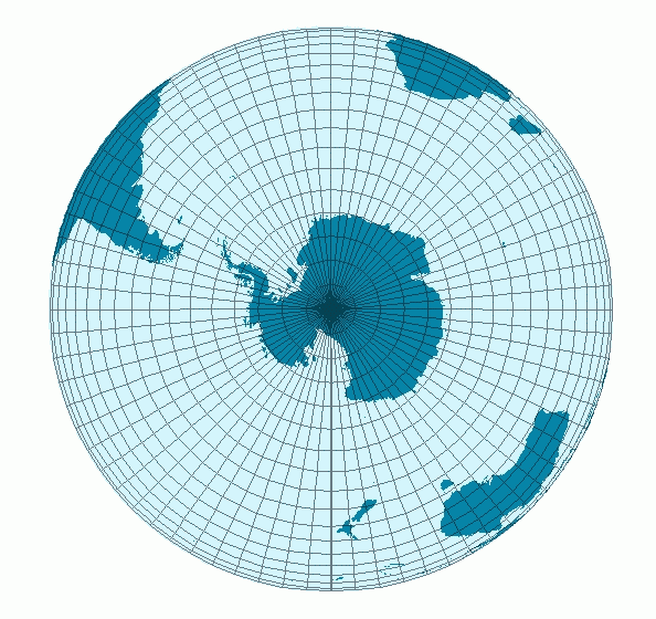
Deutsch: Südhalbkugel der Erde |
| ܣܝܩܘܡܐ | |
| ܡܒܘܥܐ | own work (transferred from de:Image:Suedhalbkugel gr.png) |
| ܣܝܘܡܐ | Stefan Kühn |
| Permission (Reusing this file) |
Licensed under the GFDL by the author. |
ܦܣܣܐ
Stefan Kühn from de.wikipedia.org, the copyright holder of this work, hereby publishes it under the following license:

|
Permission is granted to copy, distribute and/or modify this document under the terms of the GNU Free Documentation License, Version 1.2 or any later version published by the Free Software Foundation; with no Invariant Sections, no Front-Cover Texts, and no Back-Cover Texts. A copy of the license is included in the section entitled GNU Free Documentation License.http://www.gnu.org/copyleft/fdl.htmlGFDLGNU Free Documentation Licensetruetrue |
| This file is licensed under the Creative Commons Attribution-Share Alike 3.0 Unported license. | ||
| Attribution: Stefan Kühn | ||
| ||
| This licensing tag was added to this file as part of the GFDL licensing update.http://creativecommons.org/licenses/by-sa/3.0/CC BY-SA 3.0Creative Commons Attribution-Share Alike 3.0truetrue |
Original upload log
The original description page was here. All following user names refer to de.wikipedia.
- 2003-05-09 21:10 Stefan Kühn 594×560× (36252 bytes) Südhalbkugel groß
Captions
Add a one-line explanation of what this file represents
Items portrayed in this file
depicts English
copyright status English
copyrighted English
inception English
9 ܒܐܝܪ 2003
media type English
image/png
ܬܫܥܝܬܐ ܕܠܦܦܐ
Click on a date/time to view the file as it appeared at that time.
| ܣܝܩܘܡܐ/ܙܒܢܐ | ܨܘܪܬܐ ܙܥܘܪܬܐ | ܩܝܡ̈ܐ | ܡܦܠܚܢܐ | ܥܘܩܒܐ | |
|---|---|---|---|---|---|
| ܗܫܝܐ | 16:27, 15 ܒܐܒ 2005 | | 594 × 560 (35 KB) | B1mbo | From German Wikipedia {{GFDL}} Category:Maps de:Bild:Suedhalbkugel_gr.png |
ܡܦܠܚܬܐ ܕܠܦܦܐ
ܦܐܬܐ ܗܕܐ ܐܣܪ ܥܡ ܗܢܐ ܠܦܦܐ:
ܡܦܠܚܢܘܬܐ ܓܘܢܝܬܐ ܕܠܦܦܐ
The following other wikis use this file:
- Usage on af.wikipedia.org
- Usage on als.wikipedia.org
- Usage on ar.wikipedia.org
- Usage on bar.wikipedia.org
- Usage on bs.wikipedia.org
- Usage on cs.wikipedia.org
- Usage on de.wikipedia.org
- Usage on de.wiktionary.org
- Usage on en.wikipedia.org
- Usage on eo.wikipedia.org
- Usage on eu.wikipedia.org
- Hego hemisferio
- The Rugby Championship
- Txantiloi:The Rugby Championship infotaula
- Txantiloi:The Rugby Championship ekitaldiak
- 2012ko The Rugby Championship
- 2013ko The Rugby Championship
- 2014ko The Rugby Championship
- 2015eko The Rugby Championship
- 2016ko The Rugby Championship
- 2017ko The Rugby Championship
- 2018ko The Rugby Championship
- 2019ko The Rugby Championship
- 2020ko Tri Nations Series
- 2022ko The Rugby Championship
- 2021eko The Rugby Championship
- 2023ko The Rugby Championship
- Usage on fr.wikipedia.org
- Usage on gl.wikipedia.org
- Usage on ka.wikipedia.org
- Usage on kk.wikipedia.org
- Usage on nl.wiktionary.org
- Usage on pcd.wikipedia.org
- Usage on pl.wiktionary.org
- Usage on pt.wikipedia.org
- Usage on qu.wikipedia.org
- Usage on sl.wiktionary.org
- Usage on war.wikipedia.org
- Usage on xmf.wikipedia.org
Retrieved from "https://arc.wikipedia.org/wiki/ܠܦܦܐ:MapS.png"