
Main Beskid Trail
From Wikipedia, the free encyclopedia
The Kazmierz Sosnowski Main Beskid Trail (Polish Główny Szlak Beskidzki imienia Kazmierza Sosnowskiego, "GSB") is a long-distance trail marked in red that leads from Ustroń in the Silesian Beskids to Wołosate in the Bieszczady Mountains.
| Kazimierz Sosnowski Main Beskid Trail | |
|---|---|
 Trail blazing | |
| Length | 496 km (308 mi) |
| Location | Beskids, Poland |
| Trailheads | Ustroń 49.716667°N 18.816667°E / 49.716667; 18.816667 Wołosate 49.067222°N 22.679722°E / 49.067222; 22.679722 |
| Use | Hiking |
| Highest point | 1,725 metres (5,659 ft) |
| Season | All year |
At about 496 kilometres (308 mi), it is the longest trail in the Polish mountains.[1] It crosses the Silesian Beskid, the Żywiec Beskid (Beskid Żywiecki), the Gorce Mountains, Beskid Sądecki, the Low Beskids (Beskid Niski) and the Bieszczady Mountains. Covering the highest parts of the Polish Beskids, it crosses peaks such as Stożek Wielki (Velký Stožek in Czech ), Barania Góra, Babia Góra, Polica, Turbacz, Lubań, Przehyba, Radziejowa, Jaworzyna Krynicka, Rotunda, Cergowa, Chryszczata, Smerek and Halicz as well as towns such as Ustroń, Węgierska Górka, Jordanów, Rabka-Zdrój, Krościenko nad Dunajcem, Rytro, Krynica-Zdrój, Iwonicz-Zdrój, Rymanów-Zdrój, Komańcza, Cisna and Ustrzyki Górne.
The trail was created during the interwar period. The route of the western part (Ustroń-Krynica) was designed by Kazimierz Sosnowski and it was finished in 1929. The eastern was designed by Mieczysław Orłowicz. It was completed 1935 and it led to Chornohora which, at the time, was located within the borders of Poland.[2] Between 1935 and 1939, the trail was named after Józef Piłsudski.[3]
 The summit of Babia Góra (1725 m, the highest point of the trail)
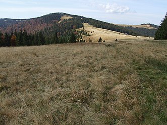 Turbacz and Hala Długa ("the long alp")
 The building of PTTK (Polish Tourist Association) on Turbacz (the Gorce Mountains)
 View of Kiczora from the ridge of Lubań
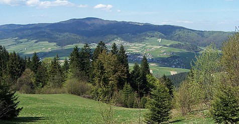 Ridge of lubań seen from the Pieniny Mountains
 The summit of Radziejowa


