Top Qs
Timeline
Chat
Perspective
Beaver Mountain (Wyoming)
Mountain in Wyoming, United States From Wikipedia, the free encyclopedia
Remove ads
Ramshorn Peak is a 9,851-foot-elevation (3,003-meter) summit in Teton County, Wyoming, United States.
Remove ads
Description
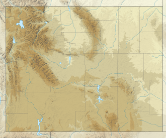
Beaver Mountain is located approximately 40 miles (64 km) west of the Continental Divide in the Wyoming Range which is a subrange of the Rocky Mountains. It is set on land managed by Bridger–Teton National Forest and can be seen from Highway 189/191. The nearest city is Jackson, Wyoming, 17 miles (27 km) to the north-northwest. Precipitation runoff from the mountain drains into tributaries of the Hoback River which shortly thereafter empties to the Snake River. Topographic relief is significant as the summit rises 3,650 feet (1,113 meters) above the Hoback River in two miles (3.2 km). The mountain is popular in winter with expert downhill skiers,[4] and paragliders and hang gliders in summer.[5] The mountain's toponym has been officially adopted by the United States Board on Geographic Names.[3]
Remove ads
Climate
According to the Köppen climate classification system, Beaver Mountain is located in an alpine subarctic climate zone with cold, snowy winters, and cool to warm summers.[6] Due to its altitude, it receives precipitation all year, as snow in winter, and as thunderstorms in summer.
See also
References
Wikiwand - on
Seamless Wikipedia browsing. On steroids.
Remove ads


