Top Qs
Timeline
Chat
Perspective
Census division statistics of Canada
From Wikipedia, the free encyclopedia
Remove ads
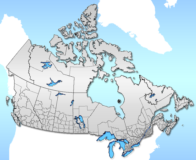
In some Canadian provinces, census divisions are equivalent to counties. They may also be referred to by different names, depending on the provinces or regions. The table below shows the largest and smallest census division in Canada—and in each province and territory—by both area and population.[1]
By area
Remove ads
By population
Remove ads
10 fastest growing population (2006–2011)
- Division No. 16, Alberta 27.2%
- La Jacques-Cartier RCM, Quebec 24.0%
- Mirabel RCM, Quebec 21.2%
- Division No. 2, Manitoba 17.0%
- Les Moulins RCM, Quebec 15.8%
- York RM, Ontario 15.7%
- Vaudreuil-Soulanges RCM, Quebec 15.7%
- Division No. 3, Manitoba 14.4%
- Halton RM, Ontario 14.2%
- Les Moulins RCM, Quebec 13.8%
10 fastest shrinking population (2006–2011)
- Kenora, Ontario −10.6%
- Guysborough County, Nova Scotia −10.1%
- Northern Rockies Regional Municipality, British Columbia −9.3%
- Division No. 3, Newfoundland and Labrador −7.8%
- Division No. 9, Newfoundland and Labrador −7.2%
- Shelburne, Nova Scotia −6.7%
- Victoria County, Nova Scotia −6.3%
- La Haute-Côte-Nord RCM, Quebec −6.2%
- Inverness, Nova Scotia −5.7%
- Témiscouata RCM, Quebec −5.6%
References
Wikiwand - on
Seamless Wikipedia browsing. On steroids.
Remove ads

