Top Qs
Timeline
Chat
Perspective
Kvabliani (river)
River in Adjara, Georgia From Wikipedia, the free encyclopedia
Remove ads
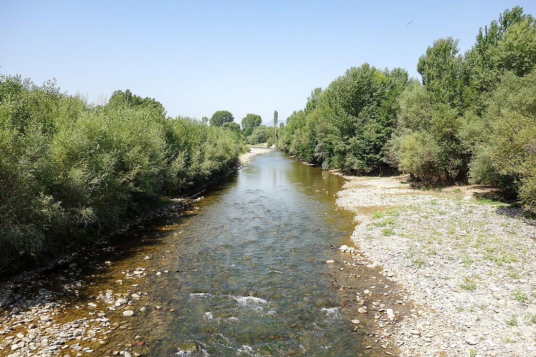
Kvabliani (Georgian: ქვაბლიანი) is a river on the southern slope of the Meskheti Range, in the Khulo and Adigeni municipalities. It originates at 2355 m above sea level. Attached to the river Potskhovistskali from the left. Length 41 km, basin area 900 km. It feeds on snow, rain and groundwater. Floods are known in spring, waterlogging in summer and winter, and floods in autumn. 52% of annual runoff flows in spring, 16% in summer, 20% in autumn and 12% in winter. Frostbite, toss, drizzle, ice cover are common occurrences from November to March. The average annual flow at the confluence is 16.2 m3/ s. Used for irrigation.[1]
This article relies largely or entirely on a single source. (April 2021) |

Remove ads
See also
References
Wikiwand - on
Seamless Wikipedia browsing. On steroids.
Remove ads


