Top Qs
Timeline
Chat
Perspective
List of U.S. Routes in California
From Wikipedia, the free encyclopedia

Remove ads
This is a list of U.S. Routes in the U.S. state of California. It includes routes defined by the California State Legislature but never built, as well as routes entirely relinquished to local governments. It also includes the routes that were decommissioned during the 1964 state highway renumbering.
.svg)
.svg)
.svg)

Each U.S. Route in California is maintained by the California Department of Transportation (Caltrans) and is assigned a Route (officially State Highway Route[2][3]) number in the Streets and Highways Code (Sections 300-635). Under the code, the state assigns a unique Route X to each highway and does not differentiate between state, US, or Interstate highways.
California still uses a version of the 1961 U.S. Route shield, featuring a simplified cutout shield containing only the outer border, "U S," and the route marker. All other U.S. states adopted the 1971 version of the marker, consisting of a white shield outline on a black square background.
Remove ads
Mainline routes
- Interstate Highways and state highways that traverse California are also defined in the California Streets and Highways code as state routes. This list does not include these state routes as they are listed separately.
- The years listed reflect when the route was affected by legislative action, this is not necessarily the same year as the actual construction or signing changes to the route.
- Concurrencies are not explicitly codified in the Streets and Highways Code; such highway segments are listed on only one of the corresponding legislative route numbers. For example, the I-10/US 95 concurrency between Blythe and the Arizona state line is only listed under Route 10 in the highway code while the definition of Route 95 omits the fact that it does connect to Arizona. When a highway is broken into such segments, the total length recorded by Caltrans only reflects those non-contiguous segments and does not include those overlaps that would be required to make the route continuous. Furthermore, Caltrans may not sign all concurrencies, and instead may only post the highway shields for the route with the contiguous segment in the code.
- Some highways are not contiguous as the state has relinquished control of small sections to local governments. The stated length of the highway may or may not reflect the portions under local control.
 Road sign on US 6 showing that it is 3205 miles to its eastern end in Provincetown, Massachusetts
 US 50 westbound as it winds down Echo Summit towards the west
 US 95 southbound at the California-Nevada state line
 US 97 sign on I-5 in the City of Weed
 US 199 southbound at the California-Oregon state line
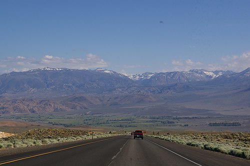


Remove ads
Special routes
Summarize
Perspective
Business routes in California are assigned by the California Department of Transportation (Caltrans), but are not maintained by Caltrans unless they overlay other routes of the state highway system. Local authorities may request route assignment from the Caltrans Transportation System Information Program, and all requests require approval of the executive committee of the American Association of State Highway and Transportation Officials (AASHTO).[5]
Remove ads
See also
Notes
References
External links
Wikiwand - on
Seamless Wikipedia browsing. On steroids.
Remove ads